


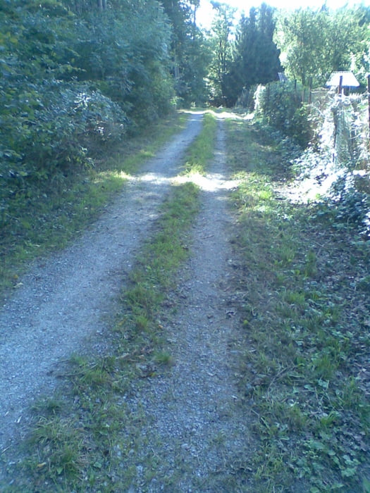
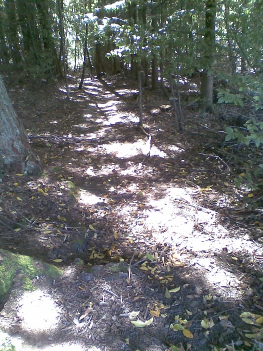
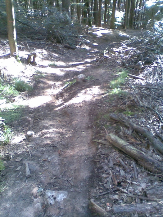
Anfangs führt die Tour durch Weinberge und Gärten Richtung Blaues Loch (Waldspielplatz). Von dort aus weiter zum Schützenhaus Stetten. Weiter geht es über den Schurwald auf den Ho-Chi-Minh Trail. Dann gemütlich auf Waldwegen und Schotterwegen wieter bis zur "Wildsau" (MTB Abfahrt). Danach wieder zurück zum Ausgangspunkt über Gärten und Weinberge.
Über einen Kommentar oder Anregungen würde ich mich freuen.
Further information at
http://www.fellbach.deTour gallery

Tour map and elevation profile
Minimum height 276 m
Maximum height 472 m
More about the tour author
|
|
jogotogo |
Comments

Neue Kelter, Kappelbergstr. 48, 70734 Fellbach
GPS tracks
Trackpoints-
GPX / Garmin Map Source (gpx) download
-
TCX / Garmin Training Center® (tcx) download
-
CRS / Garmin Training Center® (crs) download
-
Google Earth (kml) download
-
G7ToWin (g7t) download
-
TTQV (trk) download
-
Overlay (ovl) download
-
Fugawi (txt) download
-
Kompass (DAV) Track (tk) download
-
Track data sheet (pdf) download
-
Original file of the author (gpx) download
More about the tour author
|
|
jogotogo |
Add to my favorites
Remove from my favorites
Edit tags
Open track
My score
Rate