
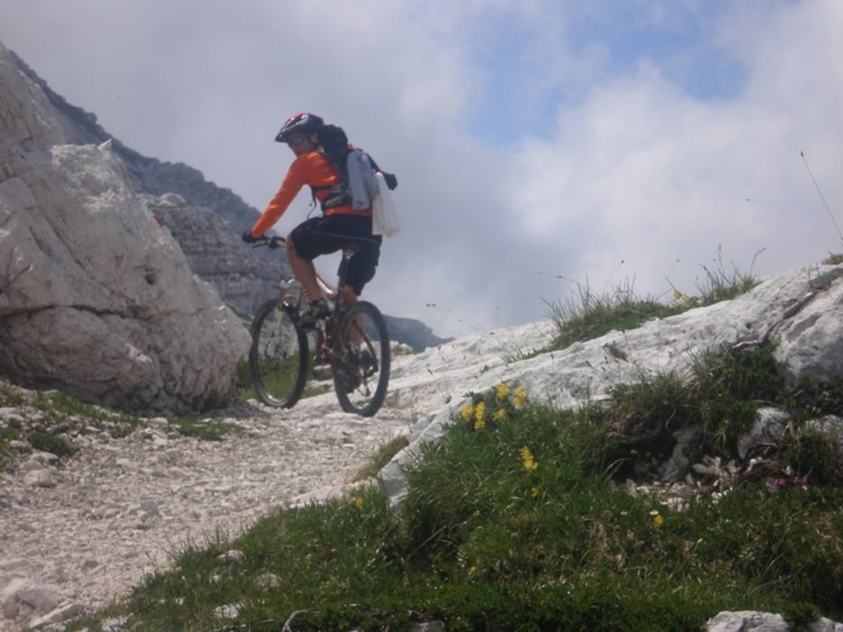

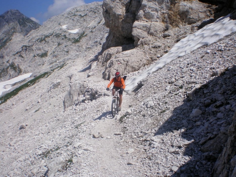
A very demanding tour, I recommend the use of cable car to Gilberti mountain hut. From there on you have to walk 150 high meters to pass and forward from there ride is very adrenalin, you ride on the edge of the Kanin plateau with views on the Montaž mountain, but in some parts you have to walk, together 30 minutes. The downhill is spectacular.
Zahtevna tura, priporočam uporabo gondole do Gilbertija, nadaljevanje je zelo adrenalinsko in ga priporočam najbolj izkušenim turnim kolesarjem, vmes je potrebno na nekaj mestih potiskati kolo, vsega skupaj za cca 30 min, spust je spektakularen!!
Tour gallery
Tour map and elevation profile
Minimum height 327 m
Maximum height 2148 m
More about the tour author
|
|
DAMJAN |
Comments

GPS tracks
Trackpoints-
GPX / Garmin Map Source (gpx) download
-
TCX / Garmin Training Center® (tcx) download
-
CRS / Garmin Training Center® (crs) download
-
Google Earth (kml) download
-
G7ToWin (g7t) download
-
TTQV (trk) download
-
Overlay (ovl) download
-
Fugawi (txt) download
-
Kompass (DAV) Track (tk) download
-
Track data sheet (pdf) download
-
Original file of the author (gpx) download
More about the tour author
|
|
DAMJAN |
Add to my favorites
Remove from my favorites
Edit tags
Open track
My score
Rate