


Von Boll über Hechingen stei bergan nach Beuren.
Am Felsrutsch vorbei nach Talheim.
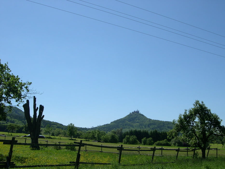
Von Talheim nach Genkingen an der Nebelhöhle vorbei zum Schloß Lichtenstein.
Quer über die Alb durch Melchingen, Ringingen und Jungingen hindurch zurück nach Boll.
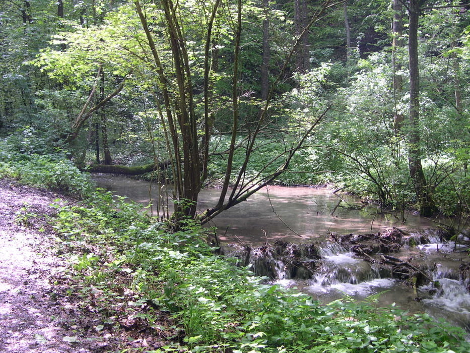
Landschaftlich tolle Tour.
Habe in youtube eine ca. 10 min. Diashow eingestellt siehe Link.
Nach der Tour empfehlen sich die Gaststätten Löwen und Kaiser zur Einkehr.
Further information at
http://www.youtube.com/watch?v=nI0r0ehJ3DkTour gallery


Tour map and elevation profile
Minimum height 495 m
Maximum height 827 m
More about the tour author
|
|
Furios-Wolf |
Comments

GPS tracks
Trackpoints-
GPX / Garmin Map Source (gpx) download
-
TCX / Garmin Training Center® (tcx) download
-
CRS / Garmin Training Center® (crs) download
-
Google Earth (kml) download
-
G7ToWin (g7t) download
-
TTQV (trk) download
-
Overlay (ovl) download
-
Fugawi (txt) download
-
Kompass (DAV) Track (tk) download
-
Track data sheet (pdf) download
-
Original file of the author (gpx) download
More about the tour author
|
|
Furios-Wolf |
Add to my favorites
Remove from my favorites
Edit tags
Open track
My score
Rate