


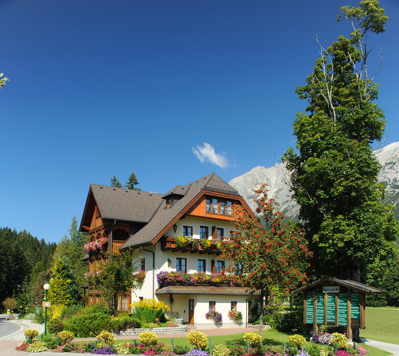
Ausgangspunkt: Hotel Annelies www.hotel-annelies.at, Ramsau/Kulm.
Nach ca. 100 m Asphalt geht es über Hofrat Gruber Weg Richtung Alte Mühle. Dann wechselt man zum Panoramaweg und lauf Richtung Westen. Dieser schöne, sonnige u. fast eben verlaufende Panoramaweg führt über Wiesen und Felder, entlang von Ahornalleen, Waldwegen mit Bachbegleitungen und traditonellen Bauernhöfen. An den Drehorten " Die Bergwacht" und am Hotel Brückenhof vorbei, wechselt man auf den Tannenweg Richtung Ramsau Ort.
Ab Gasthof Peter Rosegger geht es dann Bergauf Richtung Höhenweg. Von dort geht es direkt zum schönsten Panorama-Aussichtspunkt über das Ennstal. Weiter geht es über eine Forststraße zum Kulmrundweg bis zum Ausgangspunkt Hotel Annelies zurück.
Further information at
http://hotel-annelies.atTour gallery
Tour map and elevation profile
Minimum height 1034 m
Maximum height 1290 m
More about the tour author
|
|
Hotel_Annelies |
Comments

Parkplatze: Vor Sportmoden Schrempf, oder Tourismusverband Ramsau,www.ramsau.com
GPS tracks
Trackpoints-
GPX / Garmin Map Source (gpx) download
-
TCX / Garmin Training Center® (tcx) download
-
CRS / Garmin Training Center® (crs) download
-
Google Earth (kml) download
-
G7ToWin (g7t) download
-
TTQV (trk) download
-
Overlay (ovl) download
-
Fugawi (txt) download
-
Kompass (DAV) Track (tk) download
-
Track data sheet (pdf) download
-
Original file of the author (gpx) download
More about the tour author
|
|
Hotel_Annelies |
Add to my favorites
Remove from my favorites
Edit tags
Open track
My score
Rate