


Von der Rudolfshütte hinab bis an bzw. auf den zugefrorenen Weißsee. Von dort beginnt der Aufstieg Richtung NW bis zum bereits von weitem sichtbaren Regenmesser. Ab dort Richtung Westen bis zur Granatspitzschachte (2970 m). Abfahrt bei guten Bedingungen über den Sonnblickkees möglich.
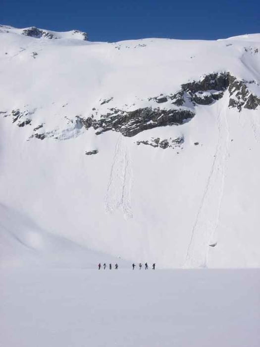
Tour gallery
Tour map and elevation profile
Minimum height 2191 m
Maximum height 2972 m
More about the tour author

|
schmirk |
Comments

Von Uttendorf (zwischen Mittersill und Zell a.See gelegen) Richtung Süden zum Enzinger Boden. Entweder mit der Bergbahn oder zu Fuss zur Rudolfshütte.
GPS tracks
Trackpoints-
GPX / Garmin Map Source (gpx) download
-
TCX / Garmin Training Center® (tcx) download
-
CRS / Garmin Training Center® (crs) download
-
Google Earth (kml) download
-
G7ToWin (g7t) download
-
TTQV (trk) download
-
Overlay (ovl) download
-
Fugawi (txt) download
-
Kompass (DAV) Track (tk) download
-
Track data sheet (pdf) download
-
Original file of the author (g7t) download
More about the tour author
|
|
schmirk |
Add to my favorites
Remove from my favorites
Edit tags
Open track
My score
Rate