Login

Forgot your login?

Cookies have to be accepted!
Your browser's cookie functionality is disabled. Please enable this functionality.

Not a member yet?

Register now
Login

Available for registred users only

Log in to use this feature.

Forgot your login?

Cookies have to be accepted!
Your browser's cookie functionality is disabled. Please enable this functionality.

Not a member yet?

Register now
Filter
Categories
Advanced filters
  • Distance (km)
  • Height
Save filters Reset filter

TrackRank

QRCode

Technical data

Distance40,2 km Height826 m Way down824 m Duration02:50 h:m Date19.09.2010
Scores Author User Landscape Fun factor Fitness Technique

Statistics

758 Views 2 Scores 112 Downloads 4.50 Average
Rate
  • Track data sheet
  • Directions
  • Downloads

Start und Ziel ist der Wanderparkplatz am Kimmiker Berg in Olpe.

Die Tour ist eine traillastigere Variante der östlichen Biggerunde.

Die Tour geht von Olpe über Thieringhausen, der Krombacher Höhe und  Rahrbach über tolle Pfade nach Welschenennest. Von dort steil bergauf über Fahlenscheid und Rhode zurück nach Olpe.
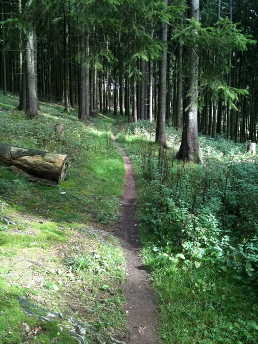
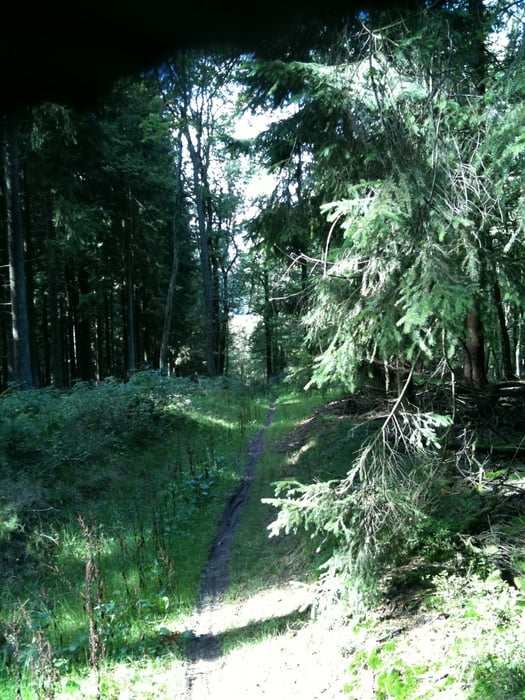
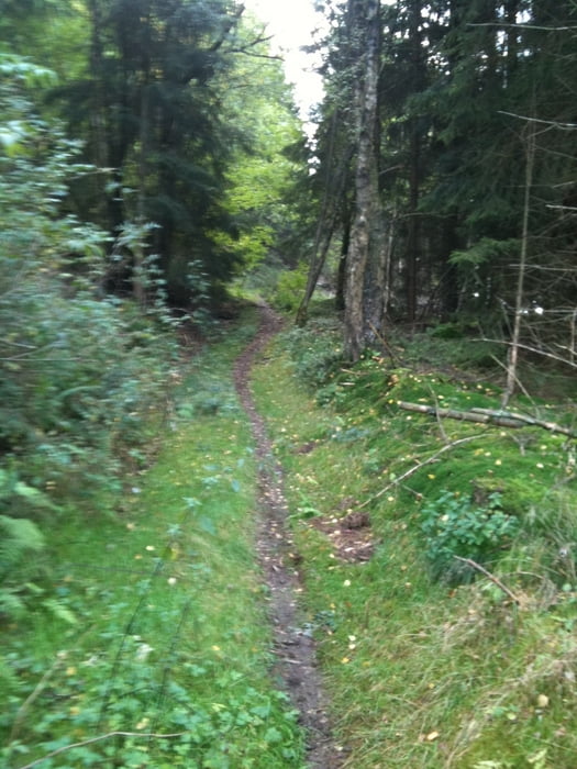
Tour gallery

Tour map and elevation profile

  • Open Street Map
  • Google
Minimum height 310 m Maximum height 608 m Detailed view

More about the tour author

chrischulte
Member since 2009

Send private message

Comments

Sirhasi on 16.08.2012

Sehr schön

Tolle Strecke, nette Trails und gigantische Blicke auf die Umgebung. Gerne mehr :-)
hojansen on 09.06.2014

Ganz gute Strecke

Zuerst war ich etwas enttäuscht, da man am Anfang nur Waldautobahnen und asphaltierte Feldwege fährt. Das änderte sich aber dann und es kamen einige schöne Trails dazu. Die sind gut zu fahren, auch von Anfängern. In der Mitte der Strecke gibt einen recht steilen Anstieg, den man aber schaffen kann. Insgesamt hat mir die Strecke gut gefallen.

GPS tracks

Trackpoints
  • GPX / Garmin Map Source (gpx) download
  • TCX / Garmin Training Center® (tcx) download
  • CRS / Garmin Training Center® (crs) download
  • Google Earth (kml) download
  • G7ToWin (g7t) download
  • TTQV (trk) download
  • Overlay (ovl) download
  • Fugawi (txt) download
  • Kompass (DAV) Track (tk) download
  • Track data sheet (pdf) download
  • Original file of the author (gpx) download

More about the tour author

chrischulte
Member since 2009

Send private message
Share track
Add to my favorites
Remove from my favorites
Edit tags
My score
Rate
Track: Der schmale Pfad
Type: Mountain bike
Distance: 40,2 km
Evaluated on:
Duration:
Day(s)
Hour(s)
Minute(s)
Score: Landscape Fun factor Fitness Technique