Login

Forgot your login?

Cookies have to be accepted!
Your browser's cookie functionality is disabled. Please enable this functionality.

Not a member yet?

Register now
Login

Available for registred users only

Log in to use this feature.

Forgot your login?

Cookies have to be accepted!
Your browser's cookie functionality is disabled. Please enable this functionality.

Not a member yet?

Register now
Filter
Categories
Advanced filters
  • Distance (km)
  • Height
Save filters Reset filter

TrackRank

QRCode

Technical data

Distance60,3 km Height1799 m Way down1799 m Duration05:10 h:m Date19.09.2010
Scores Author Landscape Fun factor Fitness Technique

Statistics

1230 Views Scores 88 Downloads Average
Rate
  • Track data sheet
  • Directions
  • Downloads

Parcours allant de la Petite-Pierre à Baerenthal en empruntant le GR 53.

Le retour de Baerenthal se fera en utilisant le GR 532 Tres Tabernae.

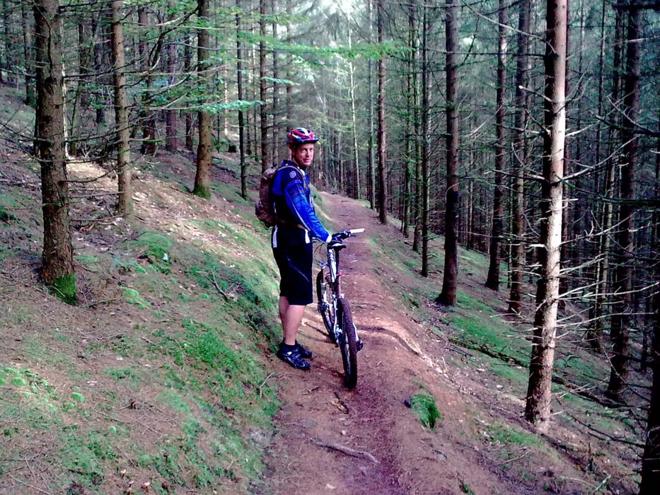
Sur ce circuit se trouve beaucoup de single ainsi que de belles descentes.

Tour gallery

Tour map and elevation profile

  • Open Street Map
  • Google
Minimum height 181 m Maximum height 442 m Detailed view

More about the tour author

pascal.67
Member since 2008

Send private message

Comments

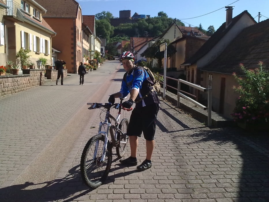
Départ de l'office de tourisme.

GPS tracks

Trackpoints
  • GPX / Garmin Map Source (gpx) download
  • TCX / Garmin Training Center® (tcx) download
  • CRS / Garmin Training Center® (crs) download
  • Google Earth (kml) download
  • G7ToWin (g7t) download
  • TTQV (trk) download
  • Overlay (ovl) download
  • Fugawi (txt) download
  • Kompass (DAV) Track (tk) download
  • Track data sheet (pdf) download
  • Original file of the author (gpx) download

More about the tour author

pascal.67
Member since 2008

Send private message
Share track
Add to my favorites
Remove from my favorites
Edit tags
My score
Rate
Track: La Petite-Pierre Baerenthal
Type: Mountain bike
Distance: 60,3 km
Evaluated on:
Duration:
Day(s)
Hour(s)
Minute(s)
Score: Landscape Fun factor Fitness Technique