Login

Forgot your login?

Cookies have to be accepted!
Your browser's cookie functionality is disabled. Please enable this functionality.

Not a member yet?

Register now
Login

Available for registred users only

Log in to use this feature.

Forgot your login?

Cookies have to be accepted!
Your browser's cookie functionality is disabled. Please enable this functionality.

Not a member yet?

Register now
Filter
Categories
Advanced filters
  • Distance (km)
  • Height
Save filters Reset filter

TrackRank

QRCode

Technical data

Distance86,1 km Height3035 m Way down2441 m Duration10:30 h:m Date20.09.2010
Scores Author User Landscape Fun factor Fitness Technique

Statistics

222 Views 1 Score 34 Downloads 5.00 Average
Rate
  • Track data sheet
  • Directions
  • Downloads

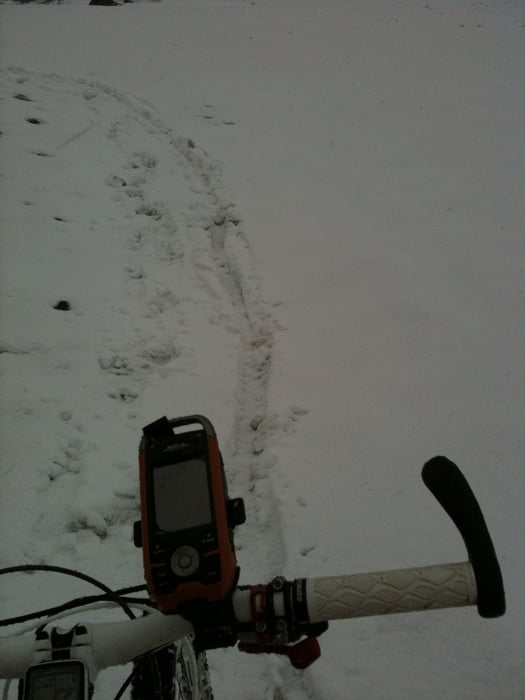
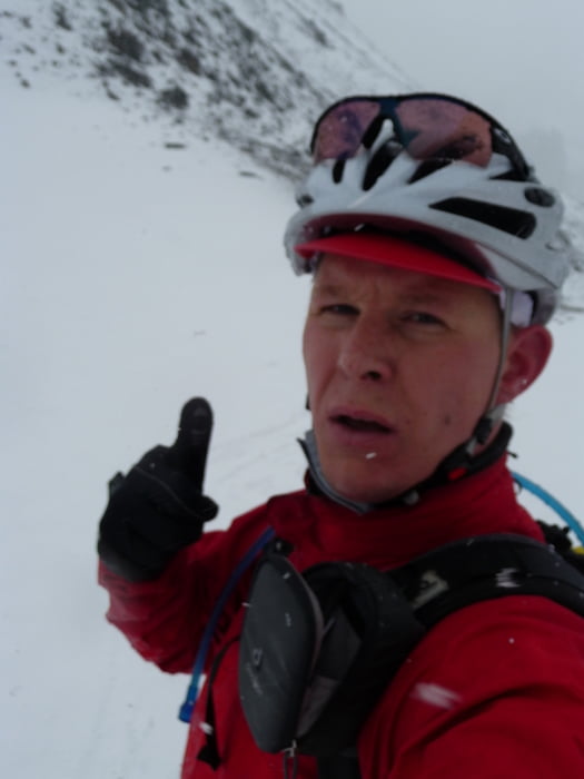
 Das Pfunderer Joch hat es in sich, es bei Regen und Schneefall zu beklimmen ist aber doch ein besonderes Abenteuer. Für die Abfahrt hat sich dann doch die Plagerei gelohnt.

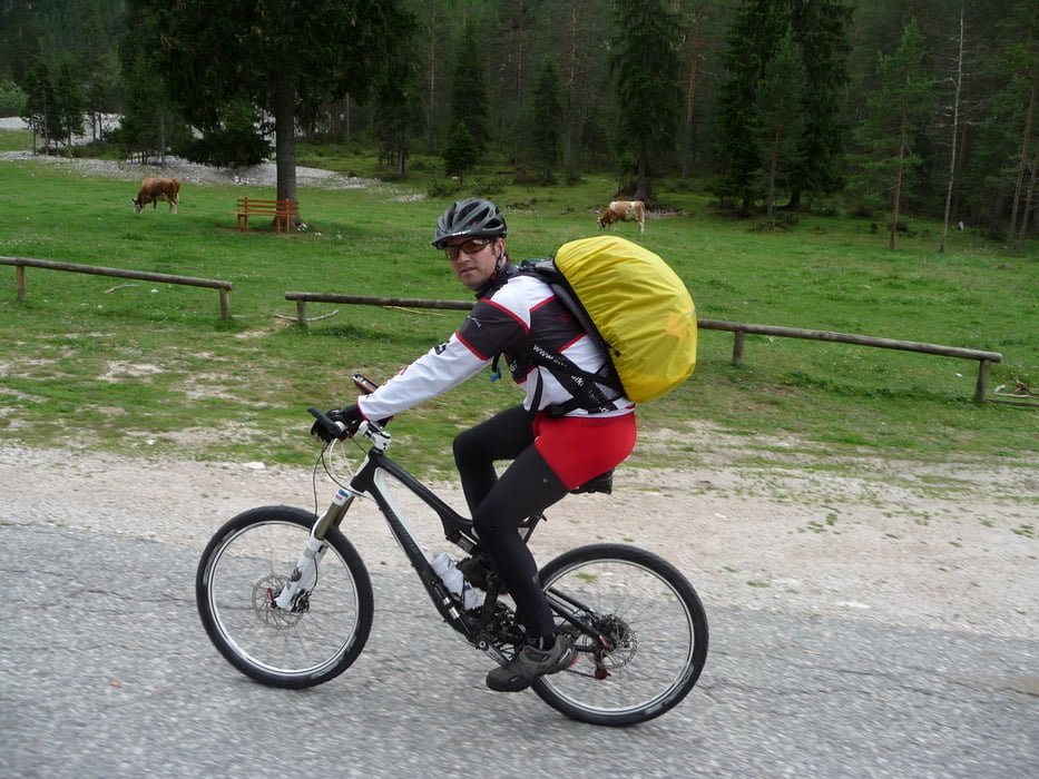
Die Aufahrt in das Fanesgebiet ist richtig Klasse. Die Landschaft ist wirklich fänomenal! 
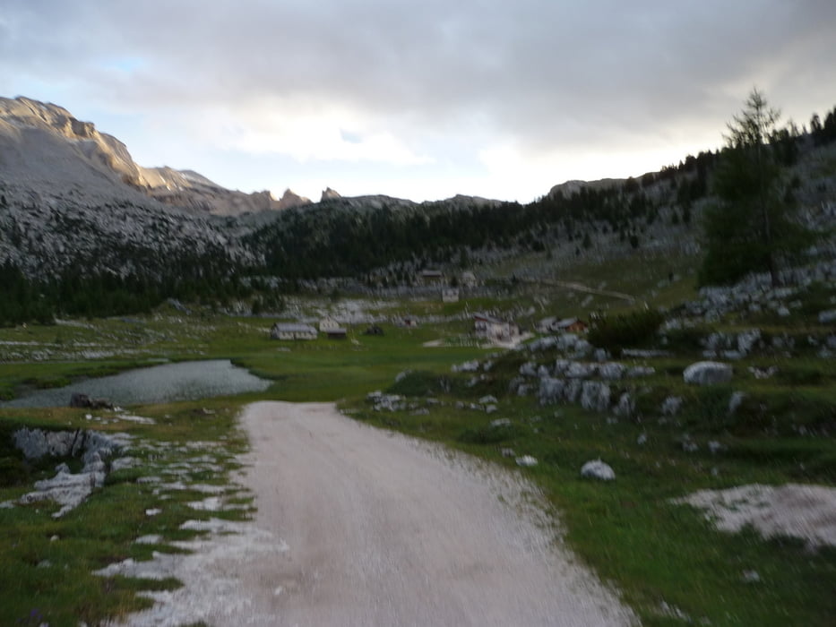
Tour gallery

Tour map and elevation profile

  • Open Street Map
  • Google
Minimum height 750 m Maximum height 2572 m Detailed view

More about the tour author

BikeoManiac
Member since 2009

Send private message

Comments

GPS tracks

Trackpoints
  • GPX / Garmin Map Source (gpx) download
  • TCX / Garmin Training Center® (tcx) download
  • CRS / Garmin Training Center® (crs) download
  • Google Earth (kml) download
  • G7ToWin (g7t) download
  • TTQV (trk) download
  • Overlay (ovl) download
  • Fugawi (txt) download
  • Kompass (DAV) Track (tk) download
  • Track data sheet (pdf) download
  • Original file of the author (gpx) download

More about the tour author

BikeoManiac
Member since 2009

Send private message
Share track
Add to my favorites
Remove from my favorites
Edit tags
My score
Rate
Track: AC Etappe 2 St. Jakob - Lavarella Hütte
Type: Mountain bike
Distance: 86,1 km
Evaluated on:
Duration:
Day(s)
Hour(s)
Minute(s)
Score: Landscape Fun factor Fitness Technique