
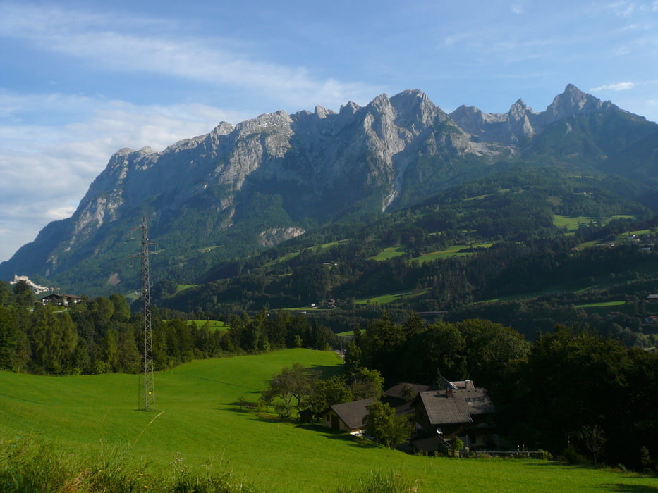

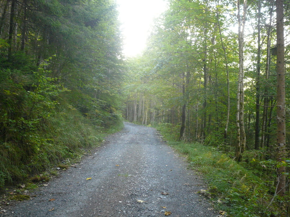
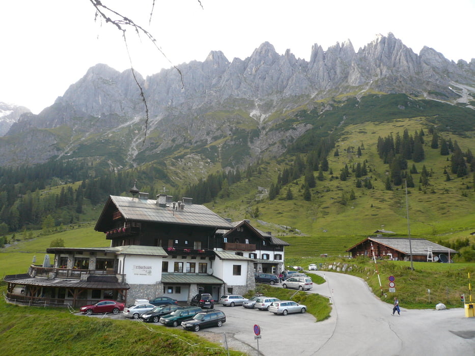
Von Pfarrwerfen geht es weiter über den Ortsteil Grießl und durch Wald bergan zur Mitterfeldalm. Die Alm liegt wunderschön, eingebettet in das gewaltige Bergpanorama von Tennengebirge und Hochkönig. Von der Mitterfeldalm zweigt auch der Hauptweg auf den Hochköniggipfel ab, dessen Besteigung aber den geübten Bergsteigern vorbehalten ist. Über die Almböden wandert man weiter zum Arthurhaus.
Further information at
http://www.via-alpina.org/de/stage/36Tour gallery


Tour map and elevation profile
Minimum height 518 m
Maximum height 1507 m
More about the tour author

|
AminSharaf |
Comments

GPS tracks
Trackpoints-
GPX / Garmin Map Source (gpx) download
-
TCX / Garmin Training Center® (tcx) download
-
CRS / Garmin Training Center® (crs) download
-
Google Earth (kml) download
-
G7ToWin (g7t) download
-
TTQV (trk) download
-
Overlay (ovl) download
-
Fugawi (txt) download
-
Kompass (DAV) Track (tk) download
-
Track data sheet (pdf) download
-
Original file of the author (gpx) download
More about the tour author
|
|
AminSharaf |
Add to my favorites
Remove from my favorites
Edit tags
Open track
My score
Rate