


Die Gegend um Stockach ist wunderschön anzusehen, besitz jedoch allgemein nur wenig Trails um mit dem Bike Vollgas geben zu können. In dieser Tour wurden diese wenigen Trails zusammengefasst und mit einigen schönen Aussichtspunkten verbunden. Der Letzte Trail in Richtung Wahlwies ist etwas versteckt. Einfach den Verbotsschild für Reiter folgen. Anfangs kann dieser Trail etwas verwachsen sein was sich jedoch zum Ende hin gibt.
Viel Spaß!
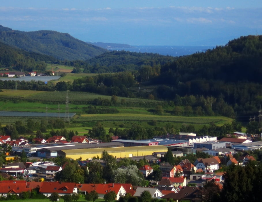
Tour gallery
Tour map and elevation profile
Minimum height 422 m
Maximum height 602 m
More about the tour author
|
|
Kempi |
Comments

GPS tracks
Trackpoints-
GPX / Garmin Map Source (gpx) download
-
TCX / Garmin Training Center® (tcx) download
-
CRS / Garmin Training Center® (crs) download
-
Google Earth (kml) download
-
G7ToWin (g7t) download
-
TTQV (trk) download
-
Overlay (ovl) download
-
Fugawi (txt) download
-
Kompass (DAV) Track (tk) download
-
Track data sheet (pdf) download
-
Original file of the author (gpx) download
More about the tour author
|
|
Kempi |
Add to my favorites
Remove from my favorites
Edit tags
Open track
My score
Rate