


Bergtour zum höchsten Gipfel der Vilser Gruppe
Kurzbeschreibung der Route:
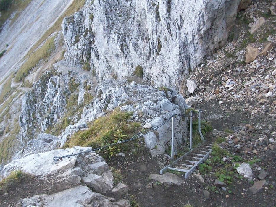
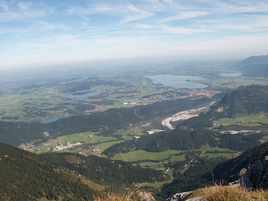
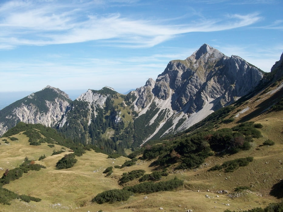
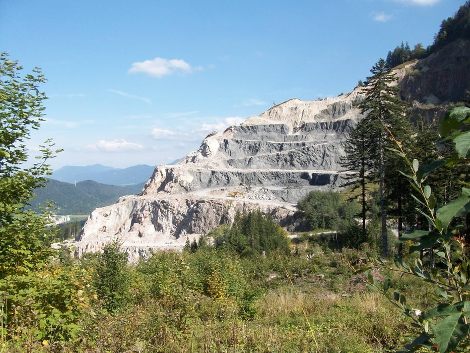
Waldparkplatz beim Vilser Kalksteinbruch (872m) - Schotterstraße zur Vilser Alm (1228m) - nach dem Karrejöchle steil über Schotter zum Einstieg des kurzen Klettersteiges, der zur Vilser Scharte (1817m) führt - mäßig steil auf breitem Pfad zur Großen Schlicke (2059m) - Abstieg zur Vilser Scharte und weiter durch die Südflanke des Hahnenkopfes zum Reintaler Jöchle - Querung zum Füssner Jöchle (1818m) - Abstieg über Jochalpe zum Karrejöchle und dann der Aufstiegsroute entlang zum Ausgangspunkt
Tour gallery
Tour map and elevation profile
Minimum height 880 m
Maximum height 2032 m
More about the tour author
|
|
Staudenbiker |
Comments

GPS tracks
Trackpoints-
GPX / Garmin Map Source (gpx) download
-
TCX / Garmin Training Center® (tcx) download
-
CRS / Garmin Training Center® (crs) download
-
Google Earth (kml) download
-
G7ToWin (g7t) download
-
TTQV (trk) download
-
Overlay (ovl) download
-
Fugawi (txt) download
-
Kompass (DAV) Track (tk) download
-
Track data sheet (pdf) download
-
Original file of the author (gpx) download
More about the tour author
|
|
Staudenbiker |
Add to my favorites
Remove from my favorites
Edit tags
Open track
My score
Rate