Start der Tour in Bad Hofgastein, Radweg Richtung Lafen, danach die ersten Höhenmeter ins Schizentrum Angertal.
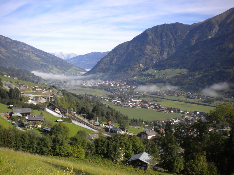
Hier beginnt der kräftige Aufstieg ( Forststrasse) zu den Gadauner Hochalmen, mit super Ausblick ins Gasteinertal.
Danach ca. 30 min. Schiebepassage zur Stanzscharte. ( nicht fahrbar! )
Herrliche Rundumsicht, Gastein, Raurisertal, Großglockner, usw.
nach kurzer Pause, weiterfahrt zuerst über Karrenweg zum Rauriser Steinbruch,( Achtung!, große Maschinen und Lastwagen) , später über Schotterstrasse zumTalboden, nach Rauris.
Es besteht auch die Möglichkeit ab Stanzscharte ca. 30 min. Fußmarsch zur Stanzalm, danach über Forststrasse Richtung Bucheben ins Tal abzufahren.
Von Rauris gehts über Embach nach Lend mit kurzen knackigen Anstieg zum Gasteinertunnel,über Dorfgastein zurück zum Ausgangspunkt.
Tour gallery
Tour map and elevation profile
Comments

Tauernautobahn, Bischofshofen, St. Johann/Pongau, Dorfgastein, Bad Hofgastein
GPS tracks
Trackpoints-
GPX / Garmin Map Source (gpx) download
-
TCX / Garmin Training Center® (tcx) download
-
CRS / Garmin Training Center® (crs) download
-
Google Earth (kml) download
-
G7ToWin (g7t) download
-
TTQV (trk) download
-
Overlay (ovl) download
-
Fugawi (txt) download
-
Kompass (DAV) Track (tk) download
-
Track data sheet (pdf) download
-
Original file of the author (gpx) download


