Login

Forgot your login?

Cookies have to be accepted!
Your browser's cookie functionality is disabled. Please enable this functionality.

Not a member yet?

Register now
Login

Available for registred users only

Log in to use this feature.

Forgot your login?

Cookies have to be accepted!
Your browser's cookie functionality is disabled. Please enable this functionality.

Not a member yet?

Register now
Filter
Categories
Advanced filters
  • Distance (km)
  • Height
Save filters Reset filter

TrackRank

QRCode

Technical data

Distance12,5 km Height673 m Way down1077 m Duration00:00 h:m Date26.09.2010
Scores Author Landscape Fun factor Fitness Technique

Statistics

1116 Views Scores 91 Downloads Average
Rate
  • Track data sheet
  • Directions
  • Downloads

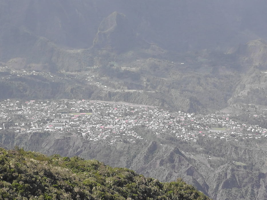
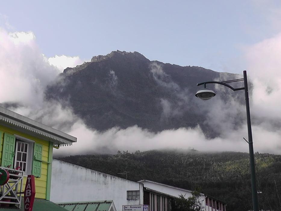
Am viertenTag starten wir von Marla um nach Cilaos zu wandern. Dabei ist lediglich ein Pass zu überqueren. nachdem wir die Straße erreicht haben, nutzen wir einfach den Bus um nach Cilaos zu fahren. Für uns war der 1 Euro gut angelegt, da die letzten tage mit Rucksack auf dem Rücken doch anstrengend waren.

Further information at

http://www.reunion-nature.com/fiche-etablissement.html?cle=28

Tour gallery

Tour map and elevation profile

  • Open Street Map
  • Google
Minimum height 1159 m Maximum height 2095 m Detailed view

More about the tour author

Joachimr
Member since 2009

Send private message

Comments

Fortsetzung von Tag 3

GPS tracks

Trackpoints
  • GPX / Garmin Map Source (gpx) download
  • TCX / Garmin Training Center® (tcx) download
  • CRS / Garmin Training Center® (crs) download
  • Google Earth (kml) download
  • G7ToWin (g7t) download
  • TTQV (trk) download
  • Overlay (ovl) download
  • Fugawi (txt) download
  • Kompass (DAV) Track (tk) download
  • Track data sheet (pdf) download
  • Original file of the author (gpx) download

More about the tour author

Joachimr
Member since 2009

Send private message
Share track
Add to my favorites
Remove from my favorites
Edit tags
My score
Rate
Track: La Reunion GR R2 von Marla nach Cilaos Tag 4
Type: Hiking
Distance: 12,5 km
Evaluated on:
Duration:
Day(s)
Hour(s)
Minute(s)
Score: Landscape Fun factor Fitness Technique