


Start: Cortina d´Ampezzo - Hotel Bellaria (-)
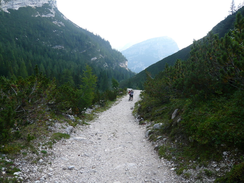
Cortina d´Ampezzo - Einstieg Val di Fanes: Zuerst schön am Hang entlang, kurz eine Teerstraße runter. Bis zum Einstieg ins Tal haben wir uns verfahren. Hatten dann immerhin einen anderen Blick auf den Wasserfall.
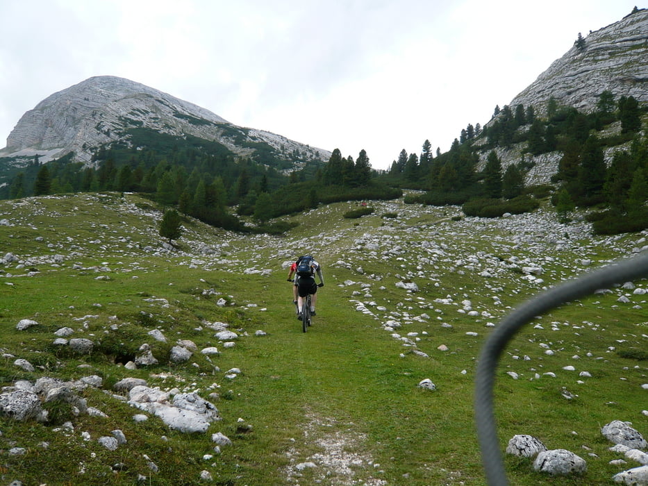
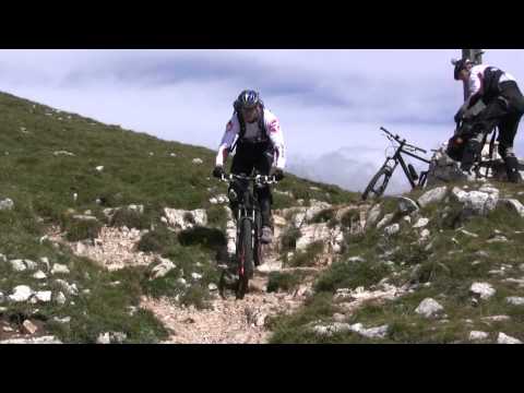
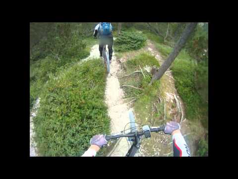
Einstieg Val di Fanes - Rifugio Fanes: Am Anfang sind die Wege einigermaßen erträglich bei 12%, dann sehr schottrig und mit durchschnittlich fast 14%. Nur was für ganz harte Jungs.
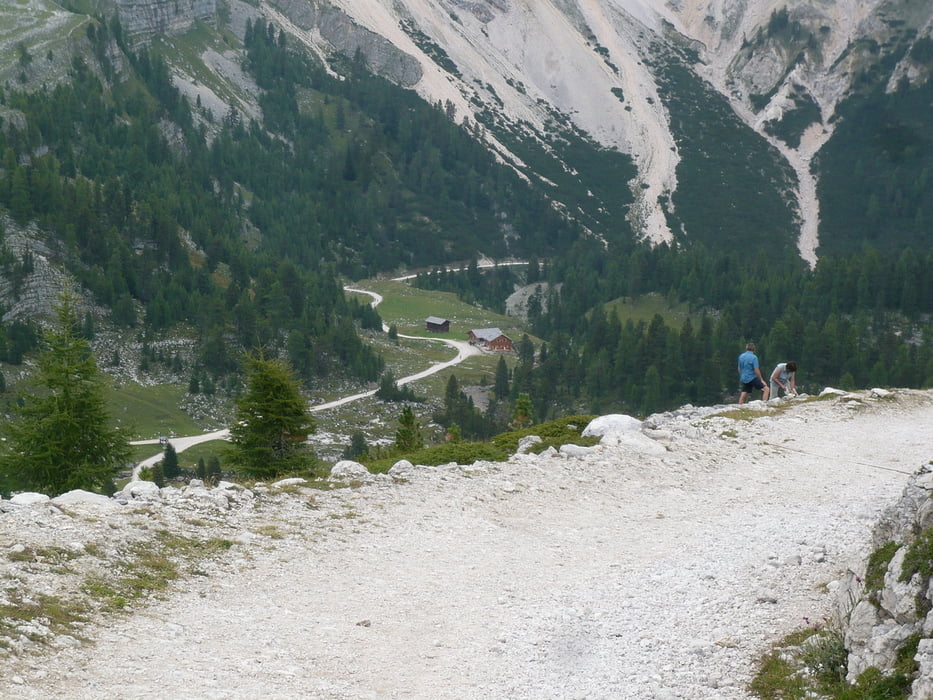
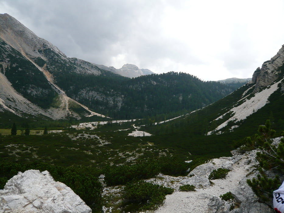
Rifugio Fanes - Pederü: Aufregende Abfahrt ins Tal. Besser hier auch später am Tag die Abfahrt antreten. Mussten den Trail leider frühzeitig wegen einem Gewitter verlassen.
Pederü - St. Vigil: Einfache letzte Meter nach St. Vigil. Auf Teer oder Weg.
Ziel:St. Vigil - Garni Erna (++)
Zusammenfassung: Ebener Anfang, heftiger Anstieg, schöne Abfahrt!
Further information at
http://www.biken.at/infos-facts/fair-play-regeln.htmlTour gallery
Tour map and elevation profile
Minimum height 1231 m
Maximum height 2171 m
More about the tour author

|
redsunrising |
Comments

- http://www.youtube.com/watch?v=nu1SND5wT6U
- http://www.youtube.com/watch?v=Se1iGzeueW4
- http://www.youtube.com/watch?v=1nqfXCXqBa0
- http://www.youtube.com/watch?v=l0n0EWSwVmo
- http://www.youtube.com/watch?v=ec5v9VE1Vrc
- http://www.youtube.com/watch?v=-0Foci7T7ns
Teaser: http://www.youtube.com/watch?v=Chfu3ND_6iw
GPS tracks
Trackpoints-
GPX / Garmin Map Source (gpx) download
-
TCX / Garmin Training Center® (tcx) download
-
CRS / Garmin Training Center® (crs) download
-
Google Earth (kml) download
-
G7ToWin (g7t) download
-
TTQV (trk) download
-
Overlay (ovl) download
-
Fugawi (txt) download
-
Kompass (DAV) Track (tk) download
-
Track data sheet (pdf) download
-
Original file of the author (gpx) download
More about the tour author
|
|
redsunrising |
Add to my favorites
Remove from my favorites
Edit tags
Open track
My score
Rate