Login

Forgot your login?

Cookies have to be accepted!
Your browser's cookie functionality is disabled. Please enable this functionality.

Not a member yet?

Register now
Login

Available for registred users only

Log in to use this feature.

Forgot your login?

Cookies have to be accepted!
Your browser's cookie functionality is disabled. Please enable this functionality.

Not a member yet?

Register now
Filter
Categories
Advanced filters
  • Distance (km)
  • Height
Save filters Reset filter

TrackRank

QRCode

Technical data

Distance39,9 km Height928 m Way down914 m Duration05:15 h:m Date28.09.2010
Scores Author Landscape Fun factor Fitness Technique

Statistics

723 Views Scores 59 Downloads Average
Rate
  • Track data sheet
  • Directions
  • Downloads

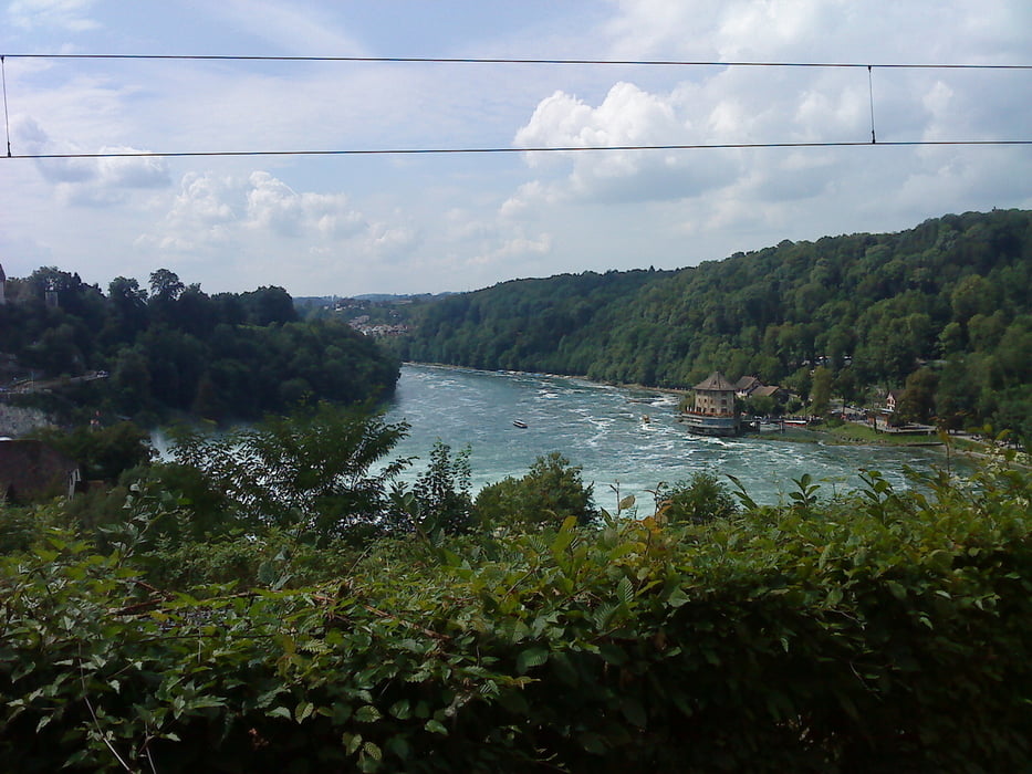
am 13. August bin ich die Tour 60498: Ruine Radegg, Klettgau und Randen  nachgefahren.


Further information at

http://de.wikipedia.org/wiki/Ruine_Radegg

Tour gallery

Tour map and elevation profile

  • Open Street Map
  • Google
Minimum height 407 m Maximum height 892 m Detailed view

More about the tour author

Wollibalou
Member since 2009

Send private message

Comments

GPS tracks

Trackpoints
  • GPX / Garmin Map Source (gpx) download
  • TCX / Garmin Training Center® (tcx) download
  • CRS / Garmin Training Center® (crs) download
  • Google Earth (kml) download
  • G7ToWin (g7t) download
  • TTQV (trk) download
  • Overlay (ovl) download
  • Fugawi (txt) download
  • Kompass (DAV) Track (tk) download
  • Track data sheet (pdf) download
  • Original file of the author (gpx) download

More about the tour author

Wollibalou
Member since 2009

Send private message
Share track
Add to my favorites
Remove from my favorites
Edit tags
My score
Rate
Track: Ruine Radegg Klettgau und Randen nachgefahren
Type: Mountain bike
Distance: 39,9 km
Evaluated on:
Duration:
Day(s)
Hour(s)
Minute(s)
Score: Landscape Fun factor Fitness Technique