Login

Forgot your login?

Cookies have to be accepted!
Your browser's cookie functionality is disabled. Please enable this functionality.

Not a member yet?

Register now
Login

Available for registred users only

Log in to use this feature.

Forgot your login?

Cookies have to be accepted!
Your browser's cookie functionality is disabled. Please enable this functionality.

Not a member yet?

Register now
Filter
Categories
Advanced filters
  • Distance (km)
  • Height
Save filters Reset filter

TrackRank

QRCode

Technical data

Distance46,0 km Height426 m Way down431 m Duration00:00 h:m Date02.10.2010
Scores Author Landscape Fun factor Fitness Technique

Statistics

526 Views 1 Score 146 Downloads 2.00 Average
Rate
  • Track data sheet
  • Directions
  • Downloads

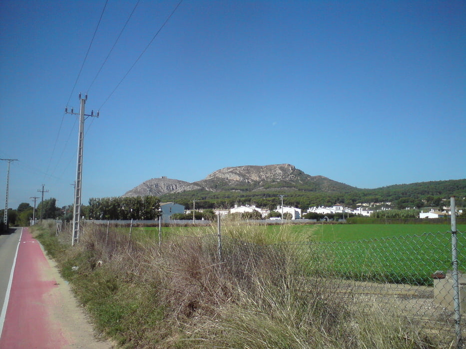
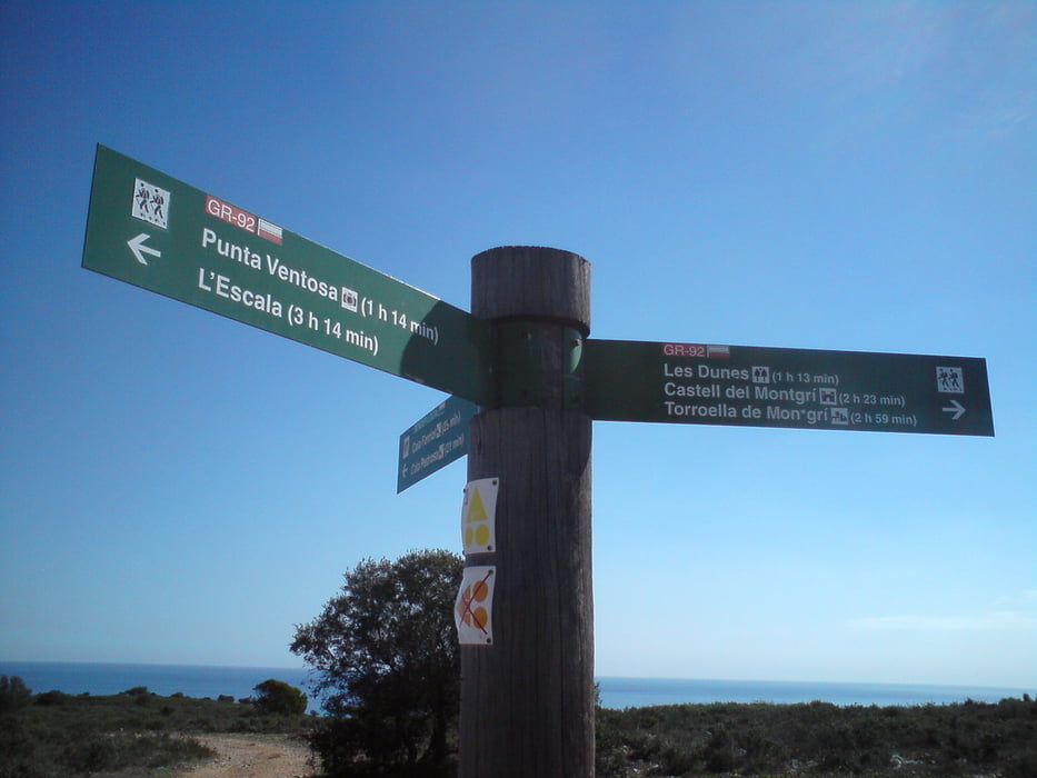
Von Sant Pere Pescador über L'Escala nach L'Estartit. Von hier in Richtung Castell de Montgri. Dieses ist über einen steilen Pfad zu erreichen.

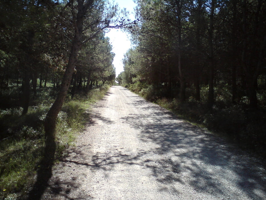
Die Strecke führt überwiegend über Feldwege und nur wenige Asphaltpassagen.

Tour gallery

Tour map and elevation profile

  • Open Street Map
  • Google
Minimum height 3 m Maximum height 169 m Detailed view

More about the tour author

Struwe
Member since 2007

Send private message

Comments

GPS tracks

Trackpoints
  • GPX / Garmin Map Source (gpx) download
  • TCX / Garmin Training Center® (tcx) download
  • CRS / Garmin Training Center® (crs) download
  • Google Earth (kml) download
  • G7ToWin (g7t) download
  • TTQV (trk) download
  • Overlay (ovl) download
  • Fugawi (txt) download
  • Kompass (DAV) Track (tk) download
  • Track data sheet (pdf) download
  • Original file of the author (gpx) download

More about the tour author

Struwe
Member since 2007

Send private message
Share track
Add to my favorites
Remove from my favorites
Edit tags
My score
Rate
Track: Zum Montgri
Type: Mountain bike
Distance: 46,0 km
Evaluated on:
Duration:
Day(s)
Hour(s)
Minute(s)
Score: Landscape Fun factor Fitness Technique