Login

Forgotten password?

Cookies have to be accepted!
Your browser's cookie functionality is disabled. Please enable this functionality.

Not a member yet?

Register now
Login

Available for registred users only

Log in to use this feature.

Forgotten password?

Cookies have to be accepted!
Your browser's cookie functionality is disabled. Please enable this functionality.

Not a member yet?

Register now
Filter
Categories
Advanced filters
  • Distance (km)
  • Height
Save filters Reset filter

TrackRank

QRCode

Technical data

Distance15,7 km Height1889 m Way down1875 m Duration08:20 h:m Date02.10.2010
Scores Author User Landscape Fun factor Fitness Technique

Statistics

1219 Views Scores 62 Downloads Average
Rate
  • Track data sheet
  • Directions
  • Downloads

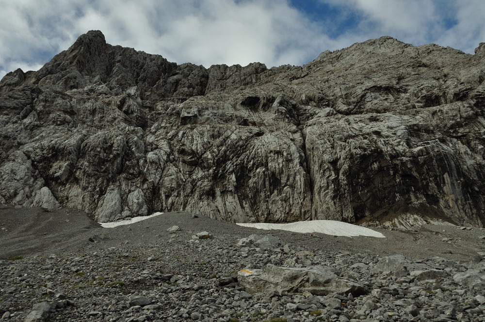
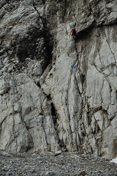
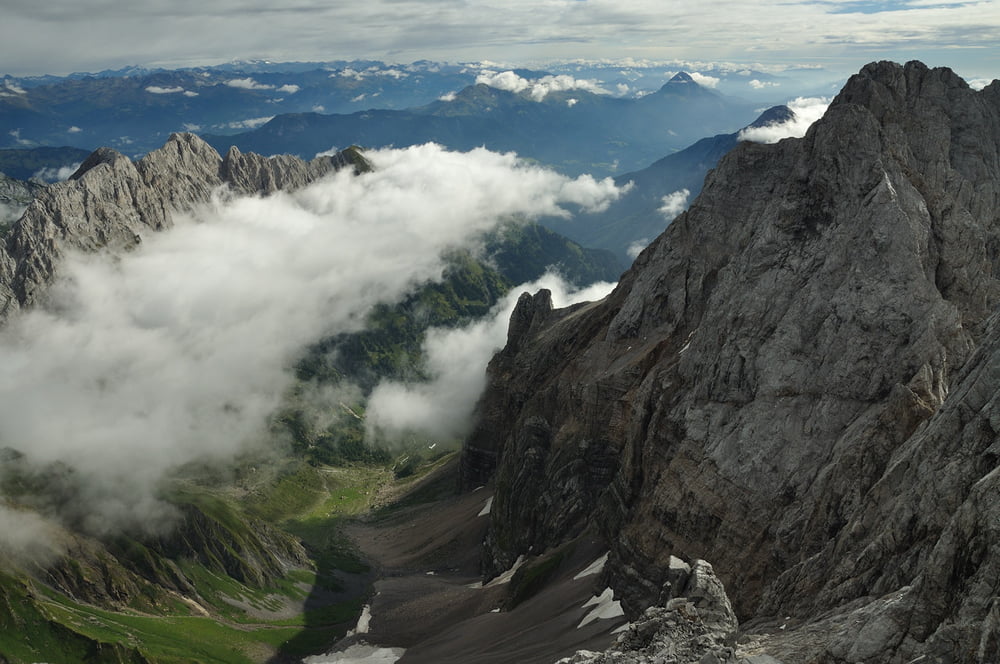
Valentinalm 1205m, Valentintörl 2138m, KS Weg der 26er (D), Hohe Warte 2780m,

Sentiero Spinotti, Rif. Lambertengli, Valentintörl 2138m, Valentinalm 1205m


Tour gallery

Tour map and elevation profile

  • Open Street Map
  • Google
Minimum height 1217 m Maximum height 2780 m Detailed view

More about the tour author

Axel_N
Member since 2008

Send private message

Comments

Lienz, Kötschach- Mauthen, auf der Straße zum Plöcken-Paß rechts zur Valentinalm

GPS tracks

Trackpoints
  • GPX / Garmin Map Source (gpx) download
  • TCX / Garmin Training Center® (tcx) download
  • CRS / Garmin Training Center® (crs) download
  • Google Earth (kml) download
  • G7ToWin (g7t) download
  • TTQV (trk) download
  • Overlay (ovl) download
  • Fugawi (txt) download
  • Kompass (DAV) Track (tk) download
  • Track data sheet (pdf) download
  • Original file of the author (gpx) download

More about the tour author

Axel_N
Member since 2008

Send private message
Share track
Add to my favorites
Remove from my favorites
Edit tags
My score
Rate
Track: Hohe Warte, Weg der 26er
Type: Via ferrata
Distance: 15,7 km
Evaluated on:
Duration:
Day(s)
Hour(s)
Minute(s)
Score: Landscape Fun factor Fitness Technique