


Von Plomin aus am Kraftwerk vorbei gehts in einem ansprcuhsvollen Anstieg auf Schotter bis in die Ortschaft Strmac. Von dort zur Hauptstraße nach Pod Labin (ein neuer Radweg entlang der Straße erleichtert diesen Teil deutlich).
In Labin abbiegen Richtung Vinez und dann noch vor Vinez Richtung Snasici. Anfangs ist leider noch deutlich Verkehr der allerdings sukzessive abnimmt und bis Sveti Martin nahezu völlig verschwindet.
Von Sv. Martin über Zupanici und Santalezi (dem wohl schönsten Teil dieser Aspahltstraße) nach Nedescina. Ab dort wieder eher stark befahrene Straße zurück nach Labin.
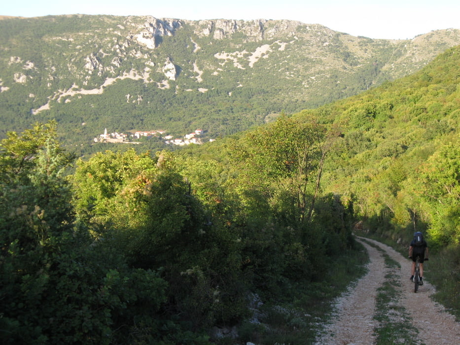
Für den Rückweg haben wir uns die Strecke über Ripenda-Vrbanci ausgewählt, die ab dort dann in einer netten mit Salbei und Thymian übersäten Schotterstraße mit ständigem Blick auf die alten Stadt Plomin hinunterführt bis zum Hafen nach Luka Plomin.
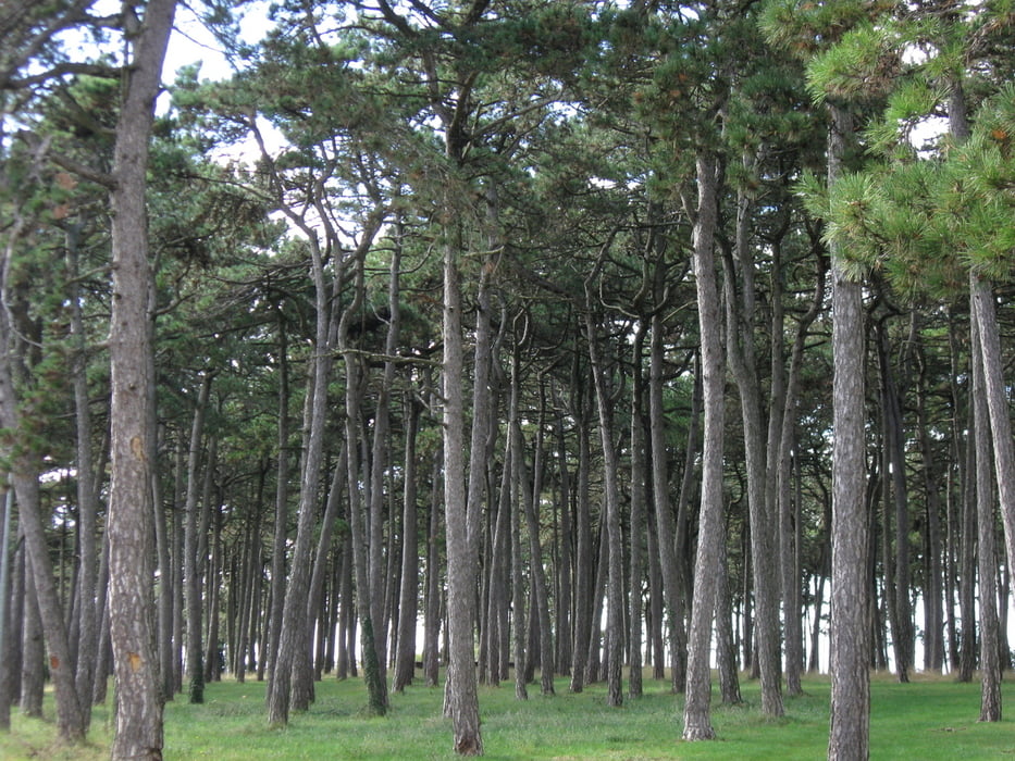
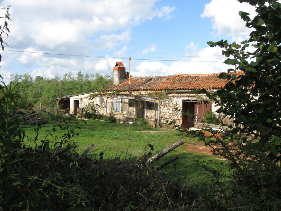
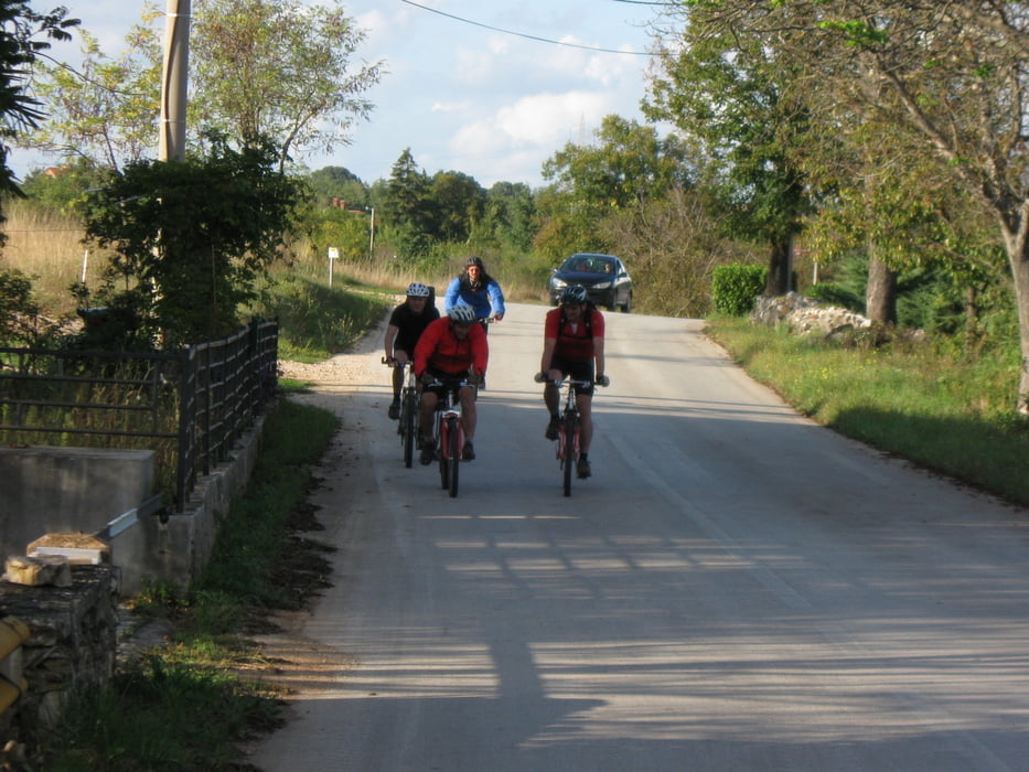
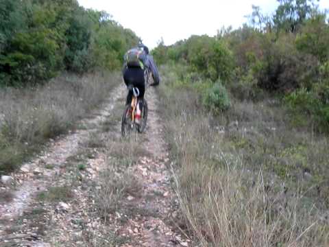
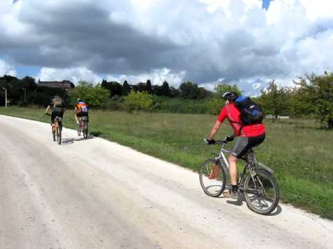
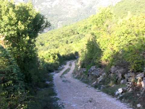
Tour gallery
Tour map and elevation profile
Minimum height
Maximum height 349 m
More about the tour author
|
|
booble9 |
Comments

GPS tracks
Trackpoints-
GPX / Garmin Map Source (gpx) download
-
TCX / Garmin Training Center® (tcx) download
-
CRS / Garmin Training Center® (crs) download
-
Google Earth (kml) download
-
G7ToWin (g7t) download
-
TTQV (trk) download
-
Overlay (ovl) download
-
Fugawi (txt) download
-
Kompass (DAV) Track (tk) download
-
Track data sheet (pdf) download
-
Original file of the author (gpx) download
More about the tour author
|
|
booble9 |
Add to my favorites
Remove from my favorites
Edit tags
Open track
My score
Rate