


Von Latsch folgen wir den Radweg Via Claudia bis nach Kastelbell,dort beginnt eine steile geteerte Stasse bis nach St.Martin am Kofel.Unbedingt rasten und einen traumhaften Panoramablick über den gesamten Vinschgau genießen! Vorbei bei der Seilbahn die keine Biker mitnimmt, geht der Trail wunderbar flowig durch den Föhrenwald über den Platzairhof und die Annaberger Böden zum Ratschillhof weiter in einen Trail -Rausch hinunter nach Goldrain - Latsch
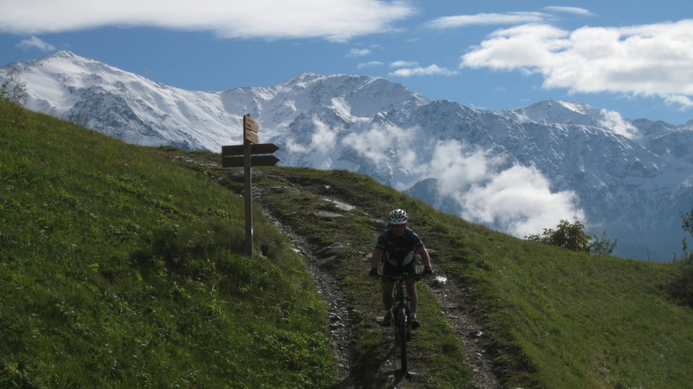
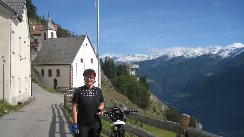
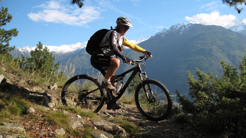
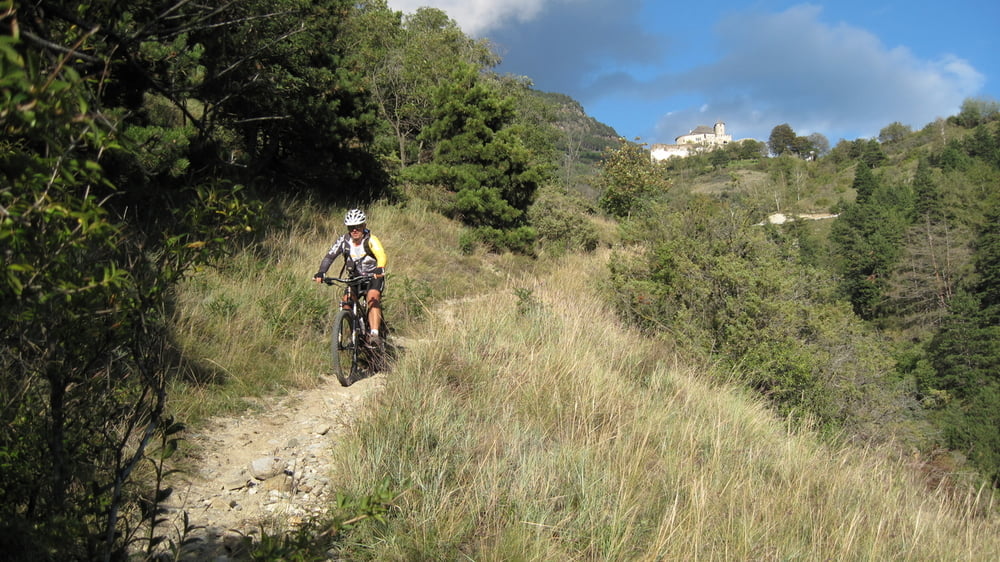
Tour gallery
Tour map and elevation profile
Minimum height 597 m
Maximum height 1791 m
More about the tour author
|
|
rudolfo |
Comments

GPS tracks
Trackpoints-
GPX / Garmin Map Source (gpx) download
-
TCX / Garmin Training Center® (tcx) download
-
CRS / Garmin Training Center® (crs) download
-
Google Earth (kml) download
-
G7ToWin (g7t) download
-
TTQV (trk) download
-
Overlay (ovl) download
-
Fugawi (txt) download
-
Kompass (DAV) Track (tk) download
-
Track data sheet (pdf) download
-
Original file of the author (gpx) download
More about the tour author
|
|
rudolfo |
Add to my favorites
Remove from my favorites
Edit tags
Open track
My score
Rate