
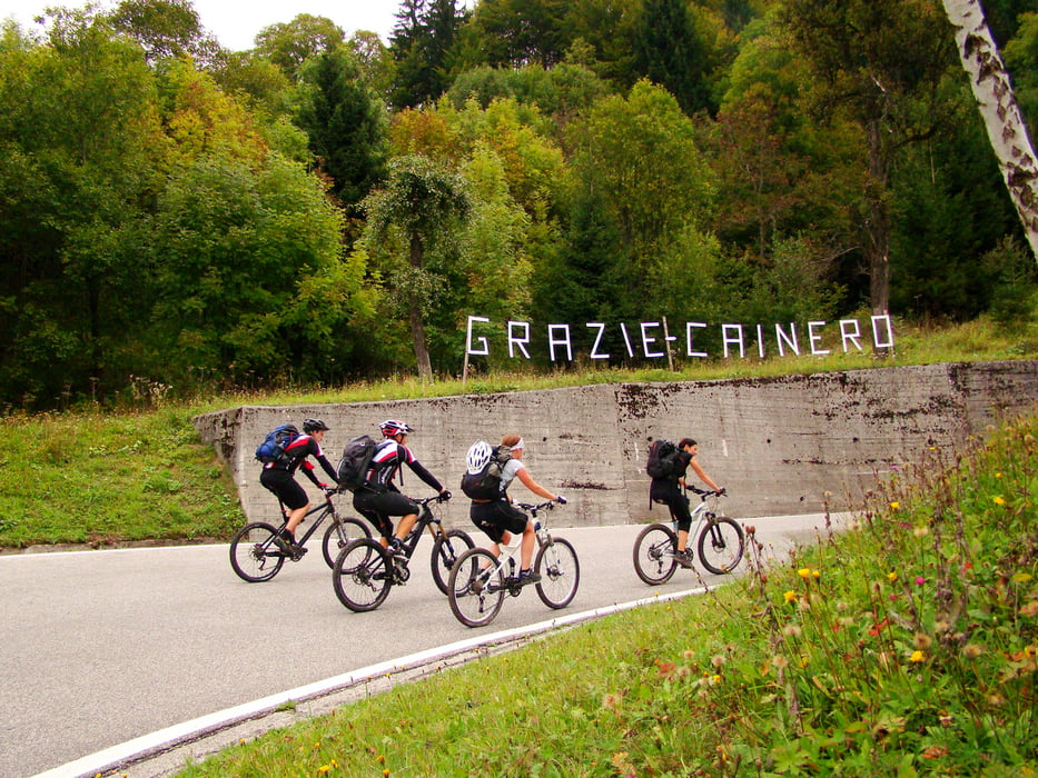

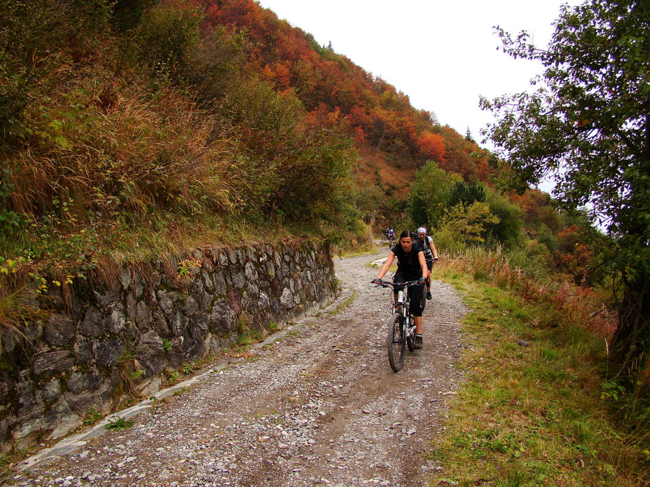
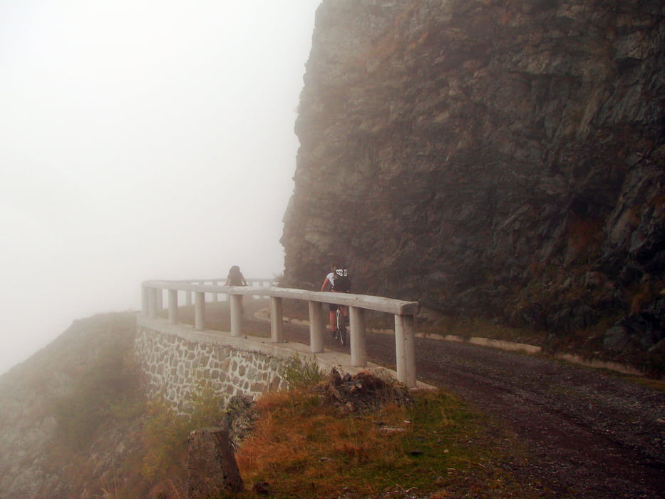
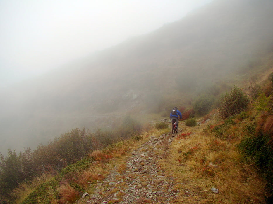
Tura ni težka,tri četrtine vzpona so asfaltne,na vrh pa pelje lepa makedamska cesta.O pokrajini ne bom pisal,ker smo imeli oblačno vreme,z obilico megle.
Spust ni pretirano zahteven,ima pa tudi nekaj kamenja in kar nekaj korenin,speljan po široki mulatjeri,mestoma singli,ki nevidno preide v kolovozno pot.
Uživajte
Tour gallery
Tour map and elevation profile
Minimum height 292 m
Maximum height 1963 m
More about the tour author
|
|
caperos |
Comments

Iz Ljubljena do Kranjske Gore in naprej proti Trbižu,od tu naprej je na voljo tudi avtocesta in se držimo smeri Pontebba pri Carnia-Tolmezzo,od tu gremo proti mestecu Tolmezzo in naprej proti kraju Paluzza.
GPS tracks
Trackpoints-
GPX / Garmin Map Source (gpx) download
-
TCX / Garmin Training Center® (tcx) download
-
CRS / Garmin Training Center® (crs) download
-
Google Earth (kml) download
-
G7ToWin (g7t) download
-
TTQV (trk) download
-
Overlay (ovl) download
-
Fugawi (txt) download
-
Kompass (DAV) Track (tk) download
-
Track data sheet (pdf) download
-
Original file of the author (gpx) download
More about the tour author
|
|
caperos |
Add to my favorites
Remove from my favorites
Edit tags
Open track
My score
Rate