
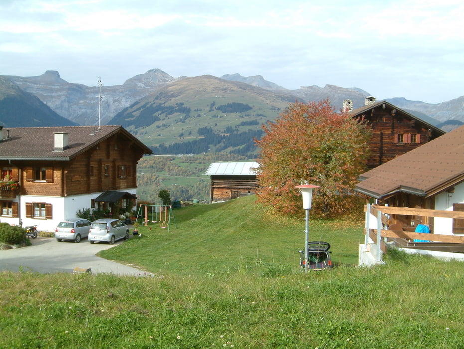

Start ist beim Verkehrsbüro in Meierhof.
Die Strecke ist ein ständiges Auf und Ab vorerst Richtung Westen über Zarzana-Huot dann dem Walserweg folgend nach Giraniga und von dort aus bis zur Grosstobelbrücke. Dort folgt eine Abfahrt mit dem technisch schwierigsten Teil der Route bis zur Burg Schwarzenstein. Danach gelangen wir Ostwärts auf Nebenstrassen bis Valata.
Nun steigen wir auf via Surcuolm bis zur Purminiga. Bei Schiliwart wieder runter nach Platenga, dann nach Misanenga und hoch nach Miraniga. Via Punt gelangen wir wieder zum Ausgangspunkt Meierhof.
Die Tour ist vorallem für Frühling und Herbst geeignet, da wir uns nicht in zu grosser Höhe bewegen und die Temperaturen daher angenehmer sind.
Tour map and elevation profile
Minimum height 1149 m
Maximum height 1534 m
More about the tour author
|
|
hpmirer |
Comments

Von Ilanz und Tavanasa bis Meierhof
GPS tracks
Trackpoints-
GPX / Garmin Map Source (gpx) download
-
TCX / Garmin Training Center® (tcx) download
-
CRS / Garmin Training Center® (crs) download
-
Google Earth (kml) download
-
G7ToWin (g7t) download
-
TTQV (trk) download
-
Overlay (ovl) download
-
Fugawi (txt) download
-
Kompass (DAV) Track (tk) download
-
Track data sheet (pdf) download
-
Original file of the author (gpx) download
More about the tour author
|
|
hpmirer |
Add to my favorites
Remove from my favorites
Edit tags
Open track
My score
Rate