
")

Streckenorte:
Leipziger Platz Frankfurt (Oder) - Markendorf - Müllrose - Biegenbrück - Neubrück - Sauen - Görzig - Rietz-Neuendorf - Herzberg - Radlow - Wendisch-Rietz - Silberberg - Reichenwalde - Bad Saarow - Petersdorf - Bahnhof Fürstenwalde/Spree
Karten-Empfehlung:
Radwander- und Freizeitkarte ODER-SPREE-SEENGEBIET, Maßstab 1:75.000, ISBN 978-3-934895-52-2, Pietruska-Verlag, 4,90 Euro.
Straßen- und Wegequalität:
Die Strecke verläuft meist auf festem Untergrund (Asphalt, Betonpflaster). Einen festen sandig schottrigen Feldweg mit Kopfsteinpflasterpassagen gibt es zwischen Rietz-Neuendorf und Herzberg. Zwischen dem Abzweig nach Silberberg und Reichenwalde wird die Strecke zum Feldweg aus robustem Sand-Schotter-Gemisch.
Sehenswertes:
- Drei Solarfabriken im Frankfurter Gewerbegebiet
- Schleuse mit Klappbrücke in Neuhaus
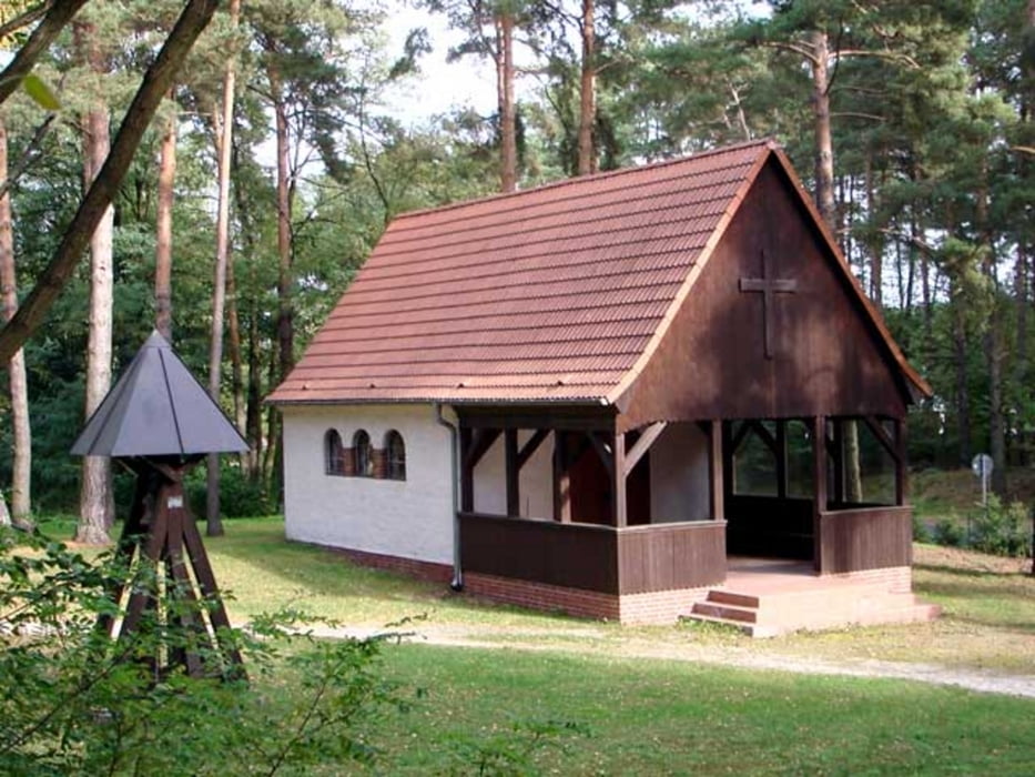
- Fachwerkkirche in Neubrück
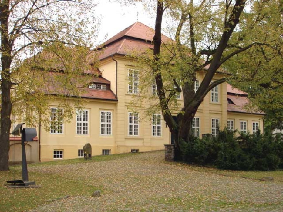
- Papphaus und Schloss in Sauen
- Dorfkirchen in Sauen, Görzig, Herzberg und Wendisch-Rietz
- Wendisch-Rietz als Erholungsort
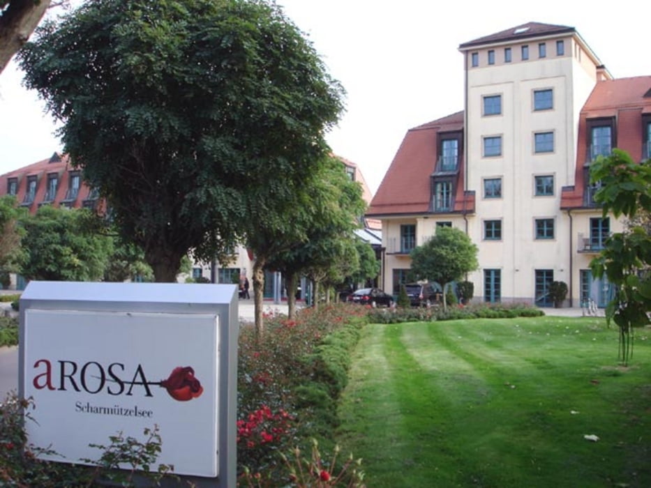
- Golf- & Sport-Hotel AROSA am Scharmützelsee
- Hafen und Seepromenade in Bad Saarow
- Altes Rathaus und Dom in Fürstenwalde
Interessante Webseiten: - www.frankfurt-oder-tourist.de
- www.schlaubetal-tourismus.de
- www.stiftung-august-bier.de
- www.scharmuetzelsee.de
- www.scharmuetzelsee-urlaub.de
- resort.a-rosa.de/scharmuetzelsee/willkommen/
- www.bad-saarow.de
- www.bad-saarow-schiff.de
- www.rodelbahn-am-fuchsbau.de
- www.fuerstenwalde-tourismus.de
Further information at
http://www.seenland-os.deTour gallery

Tour map and elevation profile
Minimum height 17 m
Maximum height 91 m
More about the tour author
|
|
celsius |
Comments

Der Startort "Leipziger Platz" in Frankfurt (Oder) liegt in der Nähe des Frankfurter Hauptbahnhofes. Vom Ziel, dem Bahnhof Fürstenwalde/Spree, verkehren Züge der Deutschen Bahn (www.bahn.de) nach Berlin und Frankfurt (Oder).
GPS tracks
Trackpoints-
GPX / Garmin Map Source (gpx) download
-
TCX / Garmin Training Center® (tcx) download
-
CRS / Garmin Training Center® (crs) download
-
Google Earth (kml) download
-
G7ToWin (g7t) download
-
TTQV (trk) download
-
Overlay (ovl) download
-
Fugawi (txt) download
-
Kompass (DAV) Track (tk) download
-
Track data sheet (pdf) download
-
Original file of the author (gpx) download
More about the tour author
|
|
celsius |
Add to my favorites
Remove from my favorites
Edit tags
Open track
My score
Rate