Login

Forgot your login?

Cookies have to be accepted!
Your browser's cookie functionality is disabled. Please enable this functionality.

Not a member yet?

Register now
Login

Available for registred users only

Log in to use this feature.

Forgot your login?

Cookies have to be accepted!
Your browser's cookie functionality is disabled. Please enable this functionality.

Not a member yet?

Register now
Filter
Categories
Advanced filters
  • Distance (km)
  • Height
Save filters Reset filter

TrackRank

QRCode

Technical data

Distance16,2 km Height423 m Way down457 m Duration01:30 h:m Date08.10.2010
Scores Author Landscape Fun factor Fitness Technique

Statistics

268 Views Scores 39 Downloads Average
Rate
  • Track data sheet
  • Directions
  • Downloads

Kurze Rund zur Ruine Schauenburg

Start an der Bäckerei Geldreich in Oberkirch

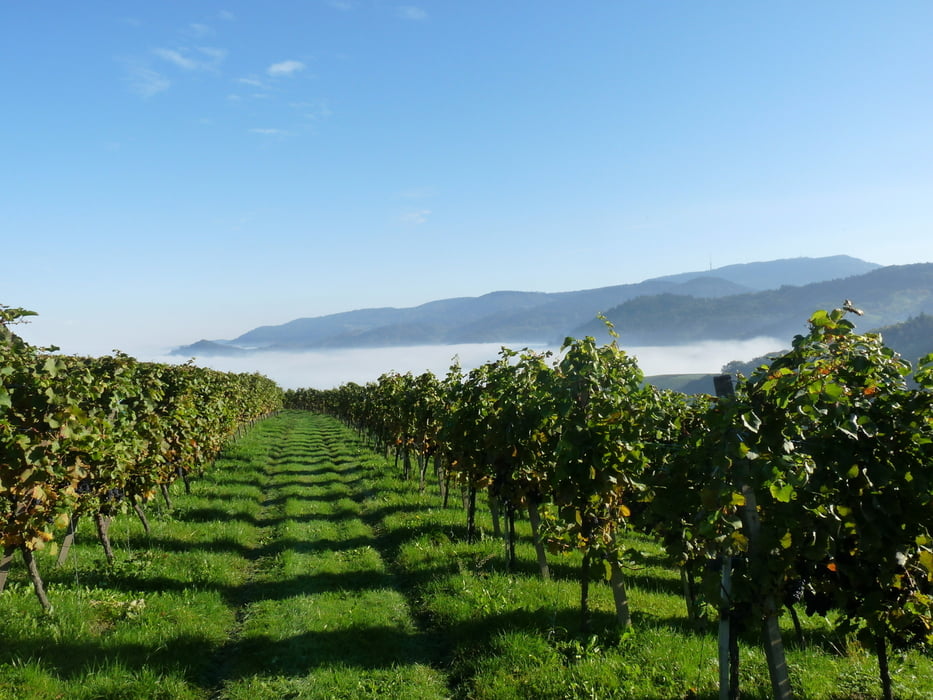
Von Oberkirch in Richtung Fatima Kapelle und dann weiter zum Ringelbacher Kreuz.

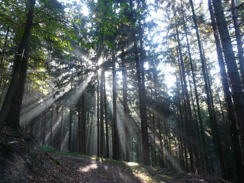
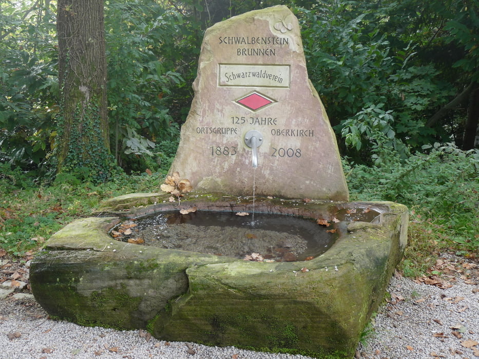
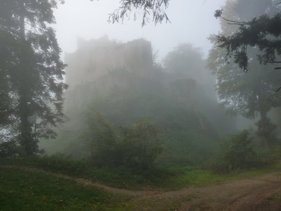
Von dort aus zur Ruine Schauenburg mit Blick über Oberkirch.Dann weiter über den Schwalbenstein wieder zurück nach Oberkirch bzw. dem Ausgangspunkt der Tour.

Viel Spass beim Nachfahren !!!

Further information at

http://www.oberkirch.de

Tour gallery

Tour map and elevation profile

  • Open Street Map
  • Google
Minimum height 173 m Maximum height 466 m Detailed view

More about the tour author

ambaibiker
Member since 2008

Send private message

Comments

Oberkirch im Renchtal

GPS tracks

Trackpoints
  • GPX / Garmin Map Source (gpx) download
  • TCX / Garmin Training Center® (tcx) download
  • CRS / Garmin Training Center® (crs) download
  • Google Earth (kml) download
  • G7ToWin (g7t) download
  • TTQV (trk) download
  • Overlay (ovl) download
  • Fugawi (txt) download
  • Kompass (DAV) Track (tk) download
  • Track data sheet (pdf) download
  • Original file of the author (gpx) download

More about the tour author

ambaibiker
Member since 2008

Send private message
Share track
Add to my favorites
Remove from my favorites
Edit tags
My score
Rate
Track: Kurze Herbstrunde zur Ruine Schauenburg
Type: Mountain bike
Distance: 16,2 km
Evaluated on:
Duration:
Day(s)
Hour(s)
Minute(s)
Score: Landscape Fun factor Fitness Technique