


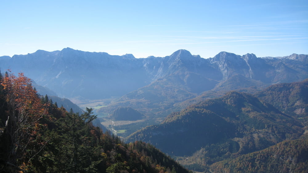
Start ist in Grünau im Almtal,gleich nach der Brücke über den Grünaubach ist links ein Parkplatz.Auf Aspahlt rollt man bis zum Wildpark,hier links die alte Mautstraße die 1000hm + 9km lang ist zur Sepp Huber-Hütte (unbedingt rasten) Weiter gehts auf einer Forststraße,dann ein kurzer schwerer Trail der wieder in die Forststraße einmündet zum Hochberghaus.Kurz nach dem Parkplatz geht ein knakiger Trail durch den Wald der uns wieder zum Ausgangspunkt bringt.
Tour gallery


Tour map and elevation profile
Minimum height 525 m
Maximum height 1515 m
More about the tour author
|
|
rudolfo |
Comments

GPS tracks
Trackpoints-
GPX / Garmin Map Source (gpx) download
-
TCX / Garmin Training Center® (tcx) download
-
CRS / Garmin Training Center® (crs) download
-
Google Earth (kml) download
-
G7ToWin (g7t) download
-
TTQV (trk) download
-
Overlay (ovl) download
-
Fugawi (txt) download
-
Kompass (DAV) Track (tk) download
-
Track data sheet (pdf) download
-
Original file of the author (gpx) download
More about the tour author
|
|
rudolfo |
Add to my favorites
Remove from my favorites
Edit tags
Open track
My score
Rate