Login

Forgot your login?

Cookies have to be accepted!
Your browser's cookie functionality is disabled. Please enable this functionality.

Not a member yet?

Register now
Login

Available for registred users only

Log in to use this feature.

Forgot your login?

Cookies have to be accepted!
Your browser's cookie functionality is disabled. Please enable this functionality.

Not a member yet?

Register now
Filter
Categories
Advanced filters
  • Distance (km)
  • Height
Save filters Reset filter

TrackRank

QRCode

Technical data

Distance70,9 km Height2321 m Way down1666 m Duration00:00 h:m Date08.10.2010
Scores Author Landscape Fun factor Fitness Technique

Statistics

813 Views Scores 153 Downloads Average
Rate
  • Track data sheet
  • Directions
  • Downloads

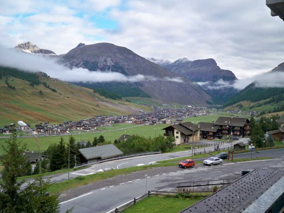
Wir starten in Scoul, über S-charl geht es auf den Pass da Costainas (2250m). Die Abfahrt führt uns über Lü und Fuldera, dann beginnt der Anstieg zum Döss Radond (2235m). Durch das Val Mora fahren wir ab zum Lago di S.Giacomo di Fraele. Der letzte Anstieg dieser Etappe führt uns auf den Passo di Alpisella, der mit 2270 m der höchste Punkt des Tages ist. Jetzt kommt noch die Abfahrt nach Livigno.

Tour gallery

Tour map and elevation profile

  • Open Street Map
  • Google
Minimum height 1199 m Maximum height 2286 m Detailed view

More about the tour author

andyderbiker
Member since 2009

Send private message

Comments

GPS tracks

Trackpoints
  • GPX / Garmin Map Source (gpx) download
  • TCX / Garmin Training Center® (tcx) download
  • CRS / Garmin Training Center® (crs) download
  • Google Earth (kml) download
  • G7ToWin (g7t) download
  • TTQV (trk) download
  • Overlay (ovl) download
  • Fugawi (txt) download
  • Kompass (DAV) Track (tk) download
  • Track data sheet (pdf) download
  • Original file of the author (gpx) download

More about the tour author

andyderbiker
Member since 2009

Send private message
Share track
Add to my favorites
Remove from my favorites
Edit tags
My score
Rate
Track: Von Scoul nach Livigno
Type: Mountain bike
Distance: 70,9 km
Evaluated on:
Duration:
Day(s)
Hour(s)
Minute(s)
Score: Landscape Fun factor Fitness Technique