


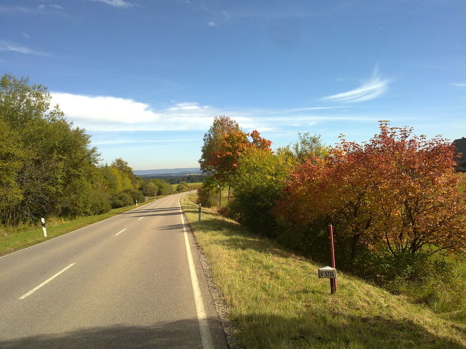
Heute ging es einmal über den Schwarzwaldkam ins Neckartal nach Villingen. Loß radelt man bis Gutach und weiter leicht ansteigend bis Obersimonswald, danach etwas steiler so zwischen 8 - 10 % weiter bis hoch auf die B 500 und wieder runter nach Furtwangen. Leicht auf und ab ging es zur Linachtalsperre und weiter nach Villingen. Ein wenig durch die Stadt und dann ab ins Brigachtal und Kirnachtal, im Herbst wirklich einen Ausflug wert. Vorbei an Maria Tann (Bild) gings nach Triberg wo ein Anstieg bis hinauf zur Wilhelmshöhe wartete. Wieder Bergab rollt man erst durchs Obere Prechtal, dann das Prechtal und das Elztal hinunter bis nach Waldkirch.
Tour gallery


Tour map and elevation profile
Minimum height 248 m
Maximum height 1022 m
More about the tour author
|
|
titanbiker |
Comments

GPS tracks
Trackpoints-
GPX / Garmin Map Source (gpx) download
-
TCX / Garmin Training Center® (tcx) download
-
CRS / Garmin Training Center® (crs) download
-
Google Earth (kml) download
-
G7ToWin (g7t) download
-
TTQV (trk) download
-
Overlay (ovl) download
-
Fugawi (txt) download
-
Kompass (DAV) Track (tk) download
-
Track data sheet (pdf) download
-
Original file of the author (gpx) download
More about the tour author
|
|
titanbiker |
Add to my favorites
Remove from my favorites
Edit tags
Open track
My score
Rate