
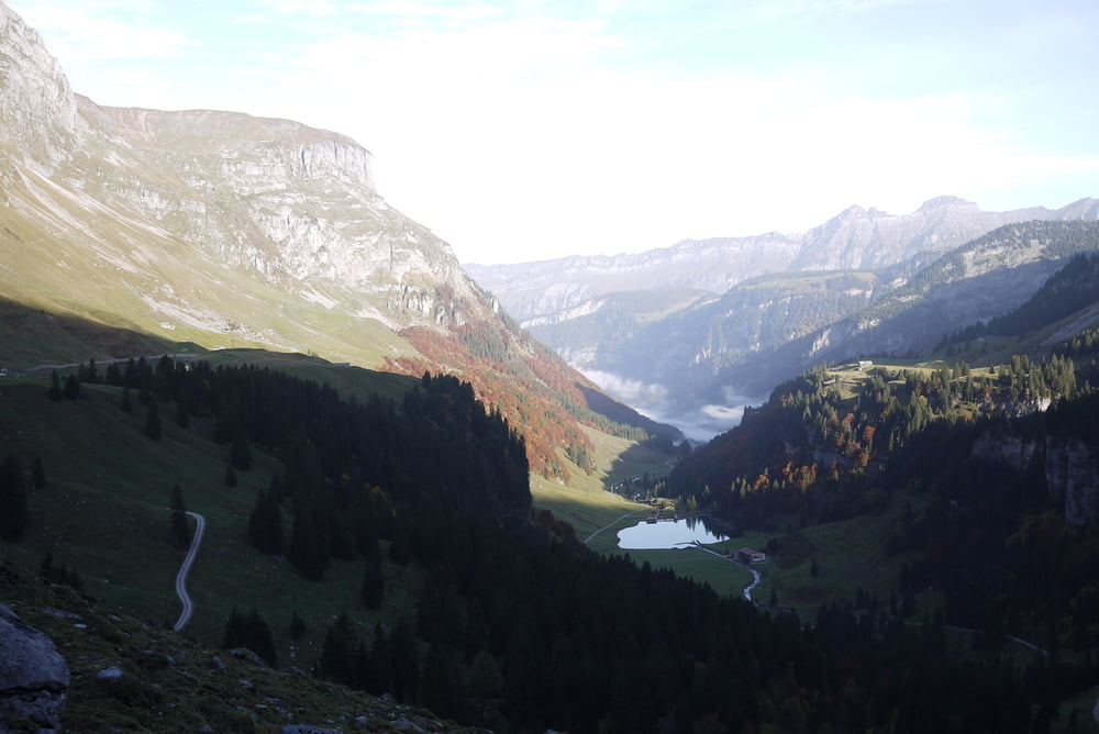

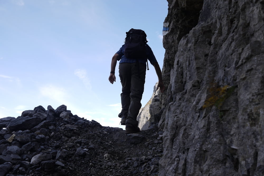
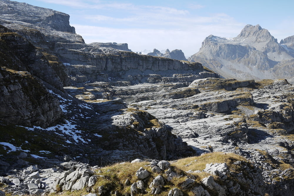
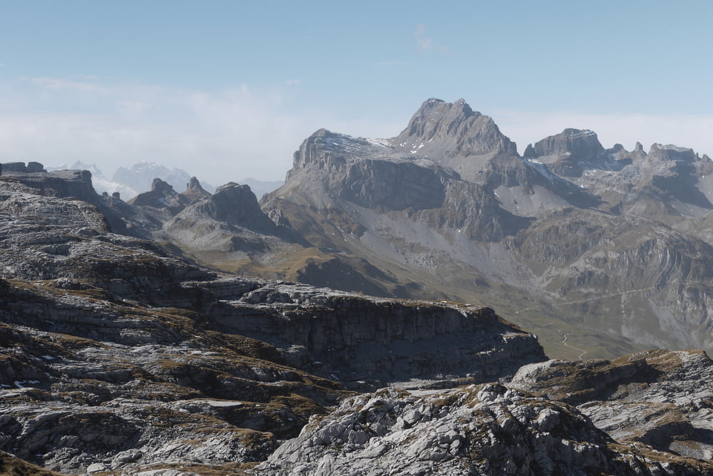
Durchs Muotathal per Postbus bis ganz hinten im Bisistal. Von der Seilbahnstation Sahli (Seilbahn nach Glattalp) auf blau markiertem Bergweg (nicht wie auf Wanderkarte rot/weiss) zum FirnerLoch. Weiter über Alp Firnen (rot/weiss markierter Bergweg) steil nach Urnerboden (Postbus).
Der Weg bis zum FirnerLoch ist teilweise steil und etwas ausgesetzt. Das Wetter muss gut sein. Einzelne Stellen sind mit Fixseil gesichert.
Tour gallery

Tour map and elevation profile
Minimum height 1145 m
Maximum height 2246 m
More about the tour author
|
|
gerosa |
Comments

Zug bis Schwyz, dann per Bus bis Sahli.
Retour ab Urnerboden (Bus) nach Linthal GL ((Bahn).
Achtung:
Bus ab Urnerboden muss evtl. vorreserviert werden.
+41 79 609 12 71
GPS tracks
Trackpoints-
GPX / Garmin Map Source (gpx) download
-
TCX / Garmin Training Center® (tcx) download
-
CRS / Garmin Training Center® (crs) download
-
Google Earth (kml) download
-
G7ToWin (g7t) download
-
TTQV (trk) download
-
Overlay (ovl) download
-
Fugawi (txt) download
-
Kompass (DAV) Track (tk) download
-
Track data sheet (pdf) download
-
Original file of the author (gpx) download
More about the tour author
|
|
gerosa |
Add to my favorites
Remove from my favorites
Edit tags
Open track
My score
Rate