


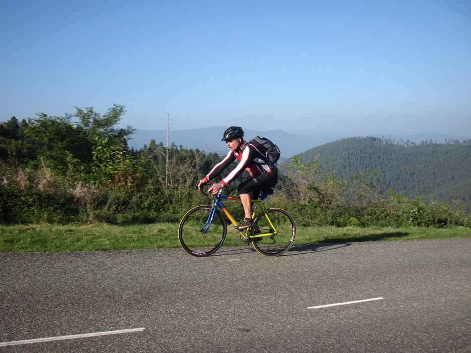
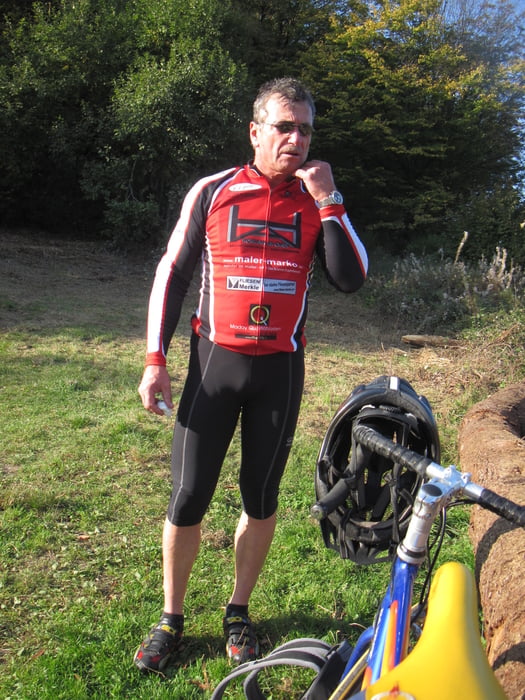
Schöne, einsame Rennradtour durch die Nordvogesen.
Tipp: Nach Liepvre nicht über die N 59 nach Chatenois, sondern rechts ab zur Haut Königsburg und über Kintzheim nach Chatenois. Sind nur 10km und 400Hm mehr - war auch so geplant, bei einigen im Team war aber der Tank alle und die Temperatur fiel aufgrund der untergehenden Sonne auf gefühlte 0°C. Also ab über die N 59 und die elsässische Weinstraße zurück zum Ausgangspunkt Andlau!
Empfehlenswert: Das Restaurant am Col de la Chabonniere (siehe Foto!)
Further information at
http://www.champdufeu.frTour gallery


Tour map and elevation profile
Minimum height 186 m
Maximum height 1108 m
More about the tour author
|
|
RuthLeuwerik |
Comments

Von Straßburg die Autobahn Richtung Selestat, Abfahrt Barr. Geparkt haben wir an einem Kreisel vor Mittelbergheim.
GPS tracks
Trackpoints-
GPX / Garmin Map Source (gpx) download
-
TCX / Garmin Training Center® (tcx) download
-
CRS / Garmin Training Center® (crs) download
-
Google Earth (kml) download
-
G7ToWin (g7t) download
-
TTQV (trk) download
-
Overlay (ovl) download
-
Fugawi (txt) download
-
Kompass (DAV) Track (tk) download
-
Track data sheet (pdf) download
-
Original file of the author (gpx) download
More about the tour author
|
|
RuthLeuwerik |
Add to my favorites
Remove from my favorites
Edit tags
Open track
My score
Rate