


Von der Großstadt bis in die Alpen, sicher eine ungewöhnliche Biketour, aber wirklich sehr schön.
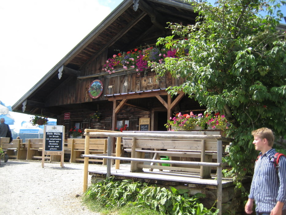
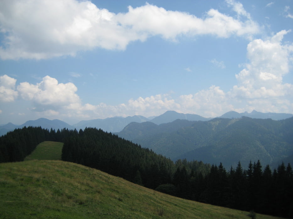
Eine lange Tour über weite Strecken sehr einfach, zur Aueralm aber sehr steil mit kurzen Schiebestücken. Also ist wirklich alles dabei.
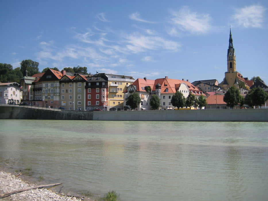
Würmtal - Forstenrieder Park - Isar bis Tölz und Lengries - Auffahrt zur Aueralm - Tegernsee - Rückfahrt mit der BOB.
Wir sind in Solln ausgestiegen und dann bis Gauting zurückgefahren, damit waren es insgesamt 103km.
Eine sehr ähnliche Tour gibts auch unter www.gps-tour.info/de/touren/detail.41830.html zum Spitzing vom Würmtal aus.
Tour gallery
Tour map and elevation profile
Minimum height 562 m
Maximum height 1334 m
More about the tour author
|
|
leichergps |
Comments

GPS tracks
Trackpoints-
GPX / Garmin Map Source (gpx) download
-
TCX / Garmin Training Center® (tcx) download
-
CRS / Garmin Training Center® (crs) download
-
Google Earth (kml) download
-
G7ToWin (g7t) download
-
TTQV (trk) download
-
Overlay (ovl) download
-
Fugawi (txt) download
-
Kompass (DAV) Track (tk) download
-
Track data sheet (pdf) download
-
Original file of the author (gpx) download
More about the tour author
|
|
leichergps |
Add to my favorites
Remove from my favorites
Edit tags
Open track
My score
Rate