


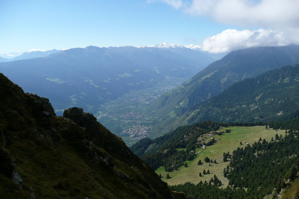
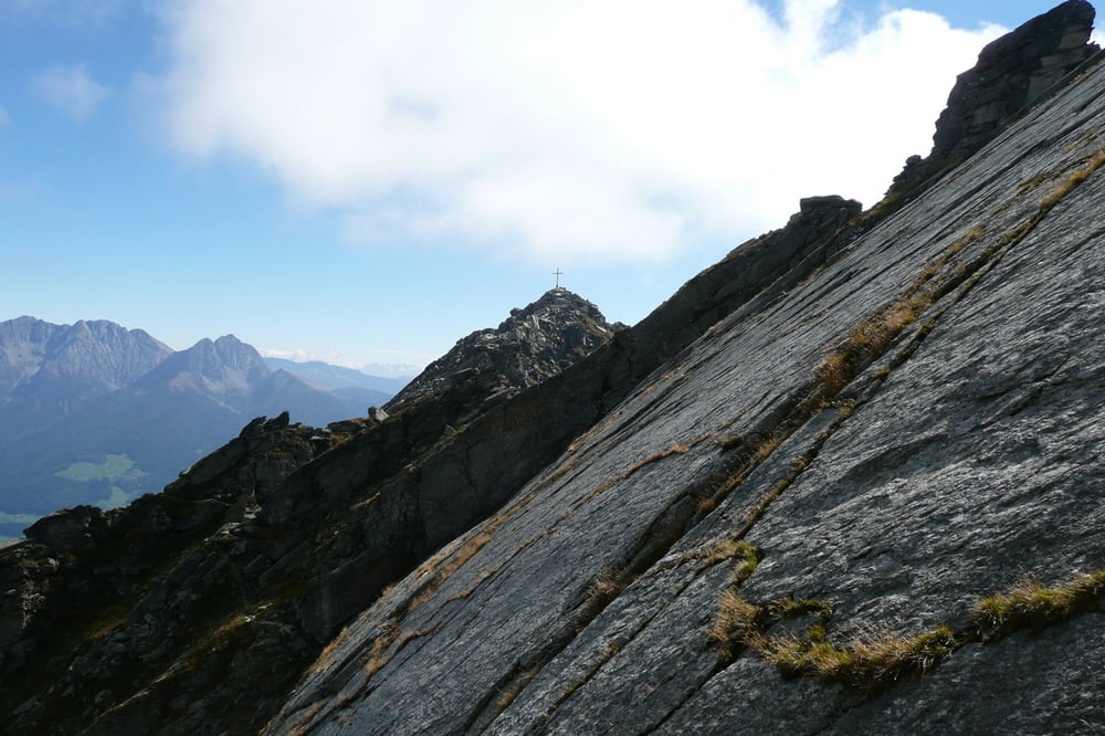
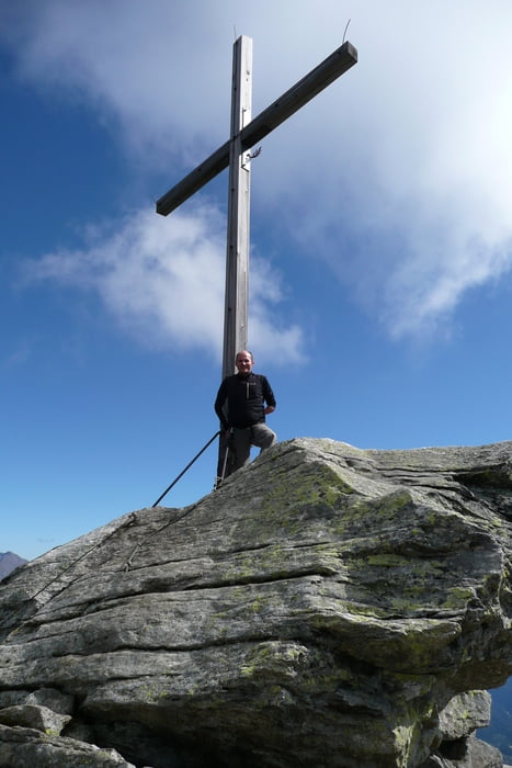
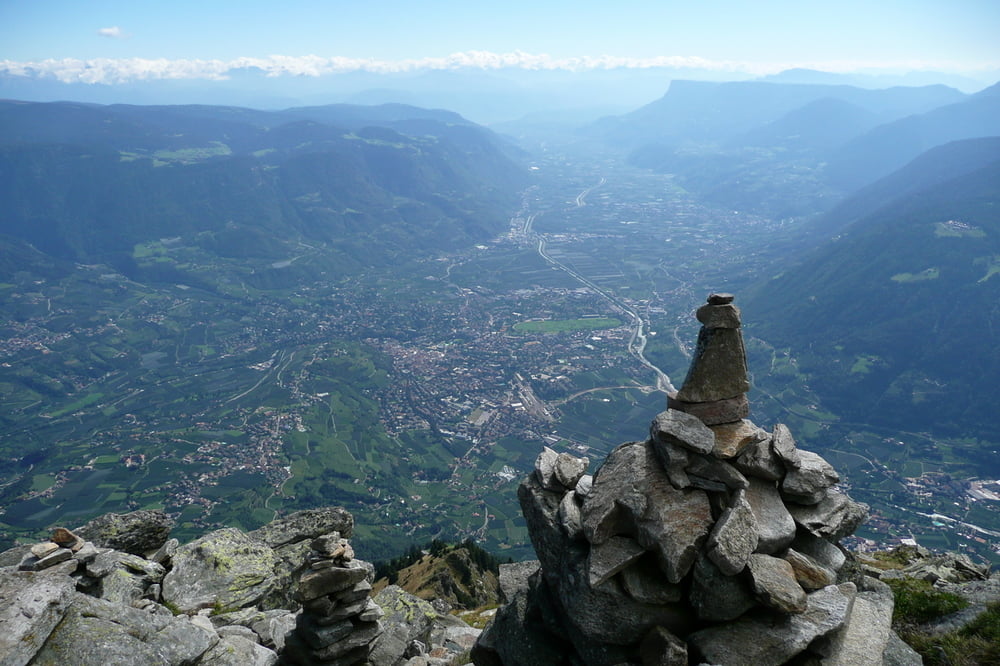
Auf meiner Tour wird die Mutspitze via Taufenscharte überschritten. Ich bin am Gasthof Hochmuth oberhalb von Dorf Tirol gestartet. Den erreicht man am einfachsten mit der Hochmuthbahn von Dorf Tirol aus. Zunächst geht es über den Hans-Frieden-Weg in Richtung Leiteralm. Dort kann man sich nochmals stärken bevor es steile 700hm in Richtung Taufenscharte weiter geht. Dort angekommen hat man eine wunderschöne Vinschgau-Perspektive. Von nun an geht es über den felsig-blockigen Grat weiter in Richtung Gipfelkreuz. Für diesen Teil der Tour benötigt man ein wenig Erfahrung in alpinerem Gelände. Vom Gipfel (2.294m.) aus steige ich ab in Richtung Mutkopf und zurück zum Ausgangspunkt Hochmuth.
Ich wünsche Euch viel Spaß bei diesem Meraner Klassiker.
Further information at
http://www.seilbahn-hochmuth.it/Tour gallery
Tour map and elevation profile
Minimum height 712 m
Maximum height 2298 m
More about the tour author
|
|
Captain |
Comments

Parkplatz an der Hochmuthbahn in Dorf Tirol.
GPS tracks
Trackpoints-
GPX / Garmin Map Source (gpx) download
-
TCX / Garmin Training Center® (tcx) download
-
CRS / Garmin Training Center® (crs) download
-
Google Earth (kml) download
-
G7ToWin (g7t) download
-
TTQV (trk) download
-
Overlay (ovl) download
-
Fugawi (txt) download
-
Kompass (DAV) Track (tk) download
-
Track data sheet (pdf) download
-
Original file of the author (gpx) download
More about the tour author
|
|
Captain |
Add to my favorites
Remove from my favorites
Edit tags
Open track
My score
Rate