


Wanderung am Colca-Canyon von Mirador zu Mirador
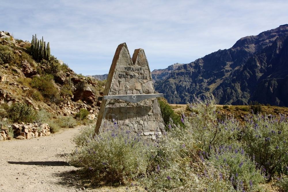
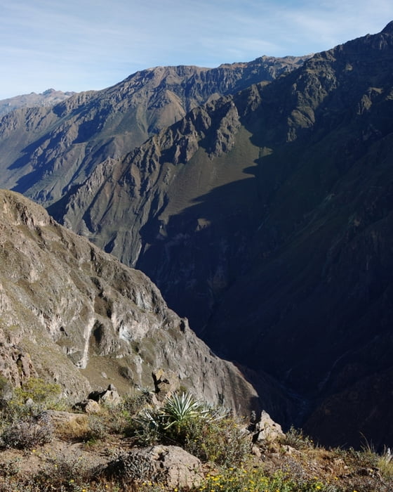
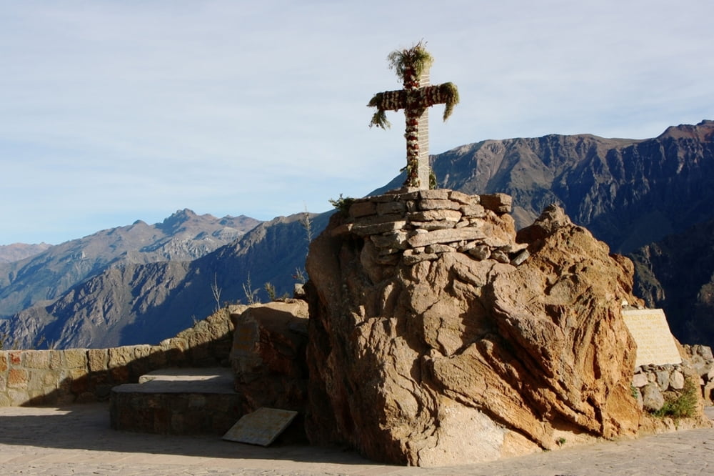
Morgens zwischen 7:00 und 9:00 Uhr kann man am Cruz del Condor die Kondore mit der Thermik aufsteigen sehen. Vom Cruz del Cura führt ein Wanderweg entlang des Canyons zum Cruz del Condor. Entlang des Weges hat man teilweise einen guten Blick hinab in den 800m tiefen Canyon.
Die kurze Strecke weist zwar keine nennenswerten Steigungen auf, aber auf eine Höhe von 3700m macht sich eine Steigung von 20m schon bemerkbar, wenn man zum ersten Mal auf einer solchen Höhe ist.
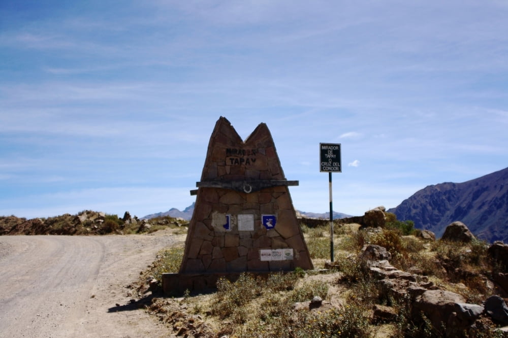
Der Rest des Weges ging dann entlang der staubigen Piste Richtung Cabanaconde bis zum Mirador Tapay. Wenn der Mittagsbus aus Arequipa kommt, kann man diesen auch auf der Strecke anhalten und die Wanderung abbrechen.
Further information at
http://peru-reise-2010.blogspot.com/Tour gallery
Tour map and elevation profile
Minimum height 3654 m
Maximum height 3776 m
More about the tour author
|
|
Alu68 |
Comments

Mit dem Linienbus gelangt man am Günstigsten zum Colca-Canyon. Von Arequipa - ab Terminal Terrestre - geht es in 4 Stunden nach Chivay und dann noch eine weitere Stunde entlang des Canyons nach Cabanaconde.
Ab hier nimmt man morgens dann den lokalen Bus zum Cruz del Condor.
GPS tracks
Trackpoints-
GPX / Garmin Map Source (gpx) download
-
TCX / Garmin Training Center® (tcx) download
-
CRS / Garmin Training Center® (crs) download
-
Google Earth (kml) download
-
G7ToWin (g7t) download
-
TTQV (trk) download
-
Overlay (ovl) download
-
Fugawi (txt) download
-
Kompass (DAV) Track (tk) download
-
Track data sheet (pdf) download
-
Original file of the author (gpx) download
More about the tour author
|
|
Alu68 |
Add to my favorites
Remove from my favorites
Edit tags
Open track
My score
Rate