
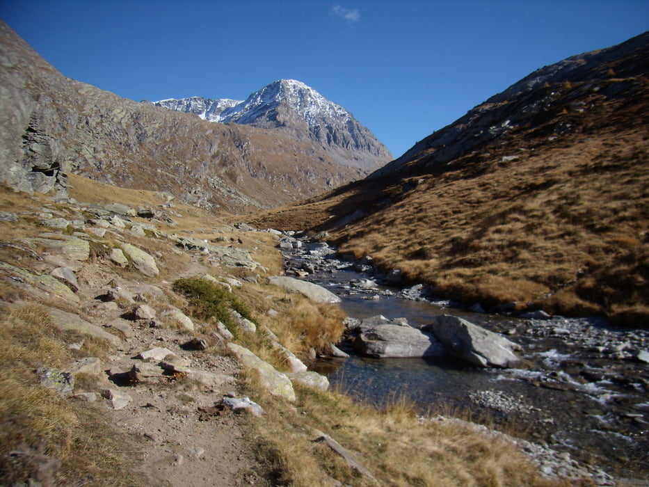

Eine traumhafte Landschaft zwischen Frankreich und Italien (Piemont) auf ca 2000m. Ausblicke und Eindrücke die gelegentlich an Norwegen erinnern bis man einen Pass erreicht und in die Täler des Piemont blickt....... oder auch hinunterfährt.
Tour map and elevation profile
Minimum height 1997 m
Maximum height 2459 m
More about the tour author

|
Paul.Steffes |
Comments

es geht entweder, mit dem Auto von Frankreich Lancelebourg oder Italien Susa hinauf, über die Passtrasse bis zum See. oder natürlich mit dem Bike von einer der Seiten über Forst und wanderwege.
GPS tracks
Trackpoints-
GPX / Garmin Map Source (gpx) download
-
TCX / Garmin Training Center® (tcx) download
-
CRS / Garmin Training Center® (crs) download
-
Google Earth (kml) download
-
G7ToWin (g7t) download
-
TTQV (trk) download
-
Overlay (ovl) download
-
Fugawi (txt) download
-
Kompass (DAV) Track (tk) download
-
Track data sheet (pdf) download
-
Original file of the author (gpx) download
More about the tour author
|
|
Paul.Steffes |
Add to my favorites
Remove from my favorites
Edit tags
Open track
My score
Rate