


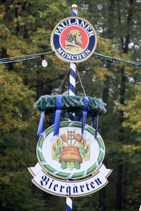
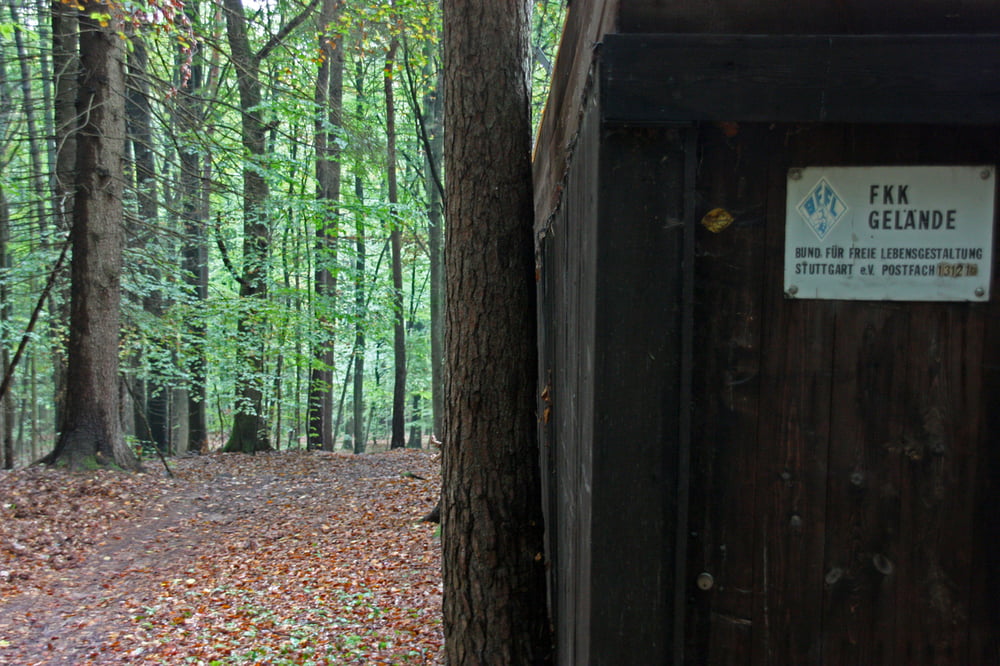
Diese zwei Stunden Tour mit einem hohen Trailanteil startet am Wanderparkplatz in Gundelsbach. Durch den Wald geht es vorbei am Beinsteiner See hinauf nach Buoch. Nach einem kurzen Abstecher zum Biergarten an der Waldschenke geht es über Trails hinab zum FKK-Gelände. Macht Euch keine Hoffnungen, es ist mit einem meterhohen Sichtschutz eingezäunt. Der Trail führt weiter hinab zum Wendepunkt der Tour. Wir kurbeln wieder hinauf nach Bouch. Oben angekommen, stürzen wir uns über einige Trails wieder hinab in Tal zum Ausgangspunkt der Tour.
...Viel Spaß!
Tour gallery
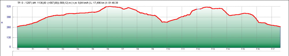
Tour map and elevation profile
Minimum height 265 m
Maximum height 520 m
More about the tour author
|
|
azzeron |
Comments

GPS tracks
Trackpoints-
GPX / Garmin Map Source (gpx) download
-
TCX / Garmin Training Center® (tcx) download
-
CRS / Garmin Training Center® (crs) download
-
Google Earth (kml) download
-
G7ToWin (g7t) download
-
TTQV (trk) download
-
Overlay (ovl) download
-
Fugawi (txt) download
-
Kompass (DAV) Track (tk) download
-
Track data sheet (pdf) download
-
Original file of the author (gpx) download
More about the tour author
|
|
azzeron |
Add to my favorites
Remove from my favorites
Edit tags
Open track
My score
Rate