


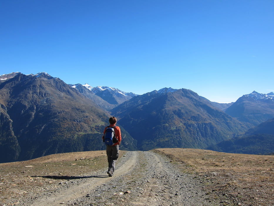
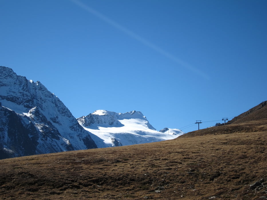
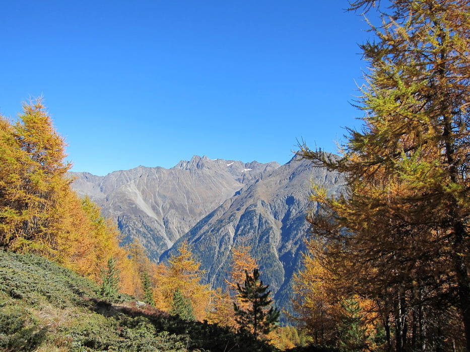
Eine Tour mit herrlichen Aussichten in die Ötztaler Bergwelt. Einkehrmöglichkeiten gibt es genügend: Sonnblick, Gampealm und in Sölden (Öffnungszeiten beachten).
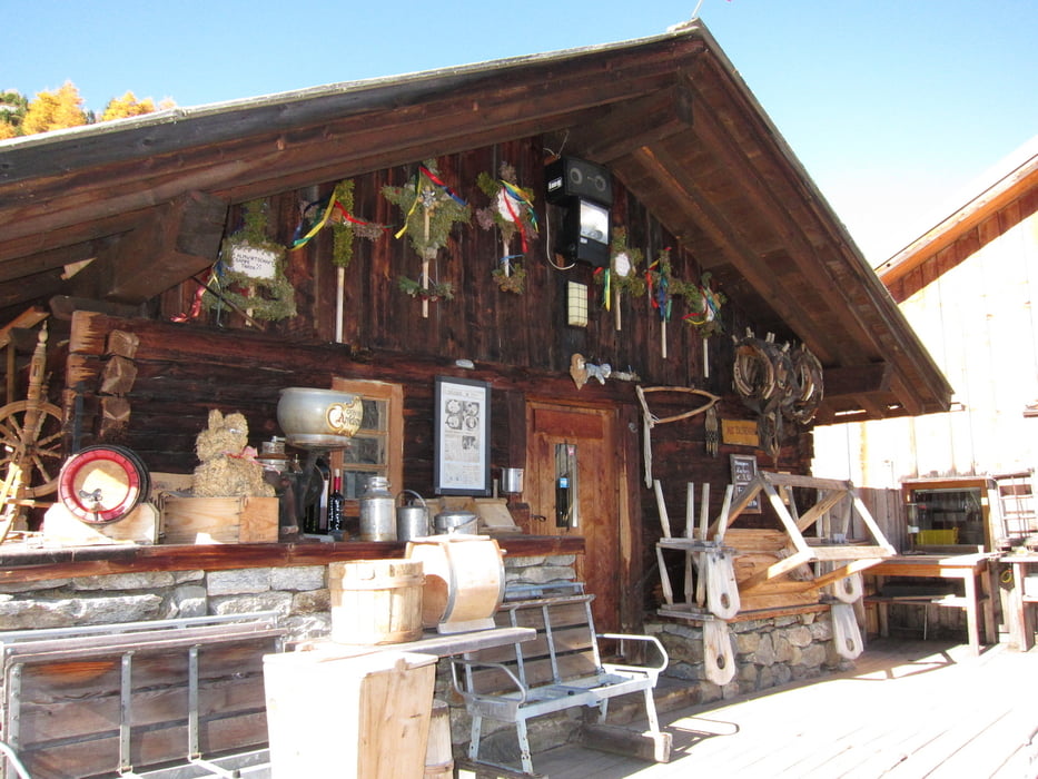
Vom Parkplatz "Giggi Joch" laufen wir den Kreuzweg nach Hochsölden. Durch Lerchenwald und Skipiste, gehts links von Hochsölden vorbei auf einem Kamm zur Giggijochbahn. Auf breitem Weg wandern wir in Richtung Rotkogeljochhütte, queren die Silberbrunn und die Gambebahn, wobei es hinunter zur 300 Jahre alten Gampe Thaya und Gampealm geht. Nach kurzer Rast, maschieren wir wieder ins Tal nach Sölden.
http://www.riml.at/gampethaya.php
http://www.oetztal.com/main/DE/WI/service/oetztal_tv/index.html
Further information at
http://www.oetztal.com/main/DE/SD/SO/Wetter/livecams/index.htmlTour gallery
Tour map and elevation profile
Minimum height 1342 m
Maximum height 2406 m
More about the tour author
|
|
W-C |
Comments

Von der B 186 Ötztal - Bundesstraße kommend, nach Ortseingang Sölden, gehts rechts zum Parkplatz Giggijochbahn.
Parkplatz - Koordinaten für dein Navigationsgerät
N 46° 58. 446´
E 11° 00. 580´
GPS tracks
Trackpoints-
GPX / Garmin Map Source (gpx) download
-
TCX / Garmin Training Center® (tcx) download
-
CRS / Garmin Training Center® (crs) download
-
Google Earth (kml) download
-
G7ToWin (g7t) download
-
TTQV (trk) download
-
Overlay (ovl) download
-
Fugawi (txt) download
-
Kompass (DAV) Track (tk) download
-
Track data sheet (pdf) download
-
Original file of the author (gpx) download
More about the tour author
|
|
W-C |
Add to my favorites
Remove from my favorites
Edit tags
Open track
My score
Rate