


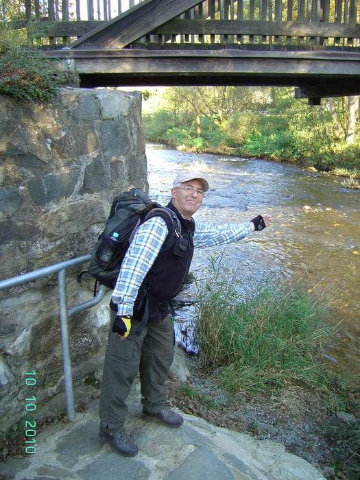
Kaum zu glauben, aber heute liegt die letzte Rennsteigetappe vor uns. Es ist ein herrlicher Herbsttag und die Sicht ist einfach super. Obwohl wir diese Etappe vor zwei Jahren bereits in umgekehrter Richtung gelaufen sind, ist uns die Landschaft fremd. Wir hatten damals so dichten Nebel, dass man Probleme hatte, den Vordermann zu sehen. Heute ist das ganz anders. Eine wirklich schöne Tour, bei der es keine Anstiege mehr gibt. Kurz vor Blankenstein geht es steil nach unten. Wie es der Brauch will, werfen wir unseren Stein, den wir aus der Werra mitgenommen haben, in die Saale.
Unser Quartier:
Gasthaus Rennsteig
Blankenstein
Further information at
http://www.gasthaus-rennsteig.homepage.t-online.de/Tour gallery
Tour map and elevation profile
Minimum height 405 m
Maximum height 726 m
More about the tour author
|
|
Sira |
Comments

GPS tracks
Trackpoints-
GPX / Garmin Map Source (gpx) download
-
TCX / Garmin Training Center® (tcx) download
-
CRS / Garmin Training Center® (crs) download
-
Google Earth (kml) download
-
G7ToWin (g7t) download
-
TTQV (trk) download
-
Overlay (ovl) download
-
Fugawi (txt) download
-
Kompass (DAV) Track (tk) download
-
Track data sheet (pdf) download
-
Original file of the author (gpx) download
More about the tour author
|
|
Sira |
Add to my favorites
Remove from my favorites
Edit tags
Open track
My score
Rate