


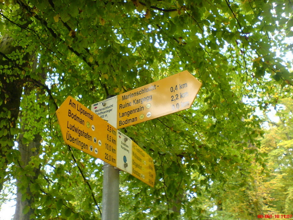
Wir sind mit dem Auto bis zum Parkplatz beim Golfplatz gefahren. Von dort aus sind wir in die Marienschlucht gestartet.
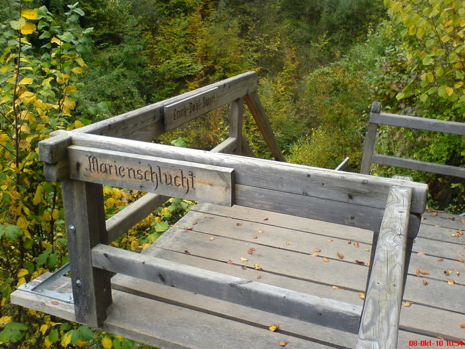
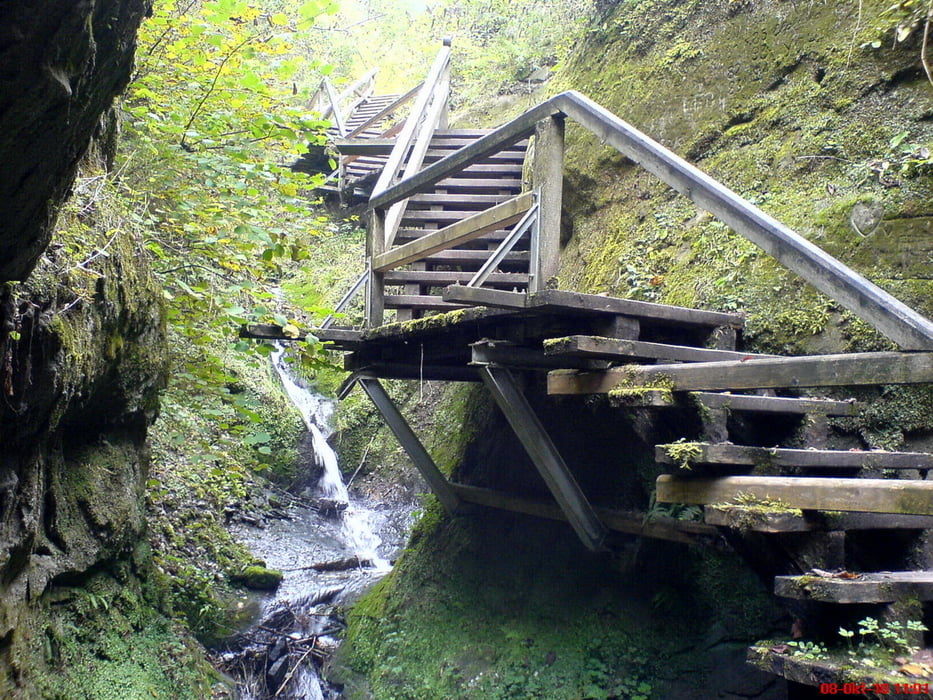
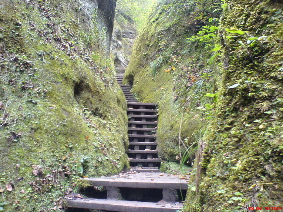
Eine sehr schöne Wanderung. Die Schlucht ist toll und hat gehalten was, uns versprochen wurde: Eine Naturschönheit am Bodensee.
Am Ende wartet der Bodensee bzw. Überlinger See. Leider konnten wir die Ruine Kargegg nicht besuchen, da der Wanderweg gesperrt war.
Fazit: Sehr empfehlenswert.
Auszug von der Homepage:
"Die Marienschlucht ist eine Naturschönheit am Steilufer des Bodensee, genauer am südlichen Überlinger See. Zwischen Bodman und Wallhausen fällt das Ufer steil zu See hin ab. Hier hat sich ein Bach tief in den Grund eingegraben und die Marienschlucht geschaffen."
Further information at
http://de.wikipedia.org/wiki/MarienschluchtTour gallery
Tour map and elevation profile
Minimum height 398 m
Maximum height 506 m
More about the tour author
|
|
Stummi |
Comments

GPS tracks
Trackpoints-
GPX / Garmin Map Source (gpx) download
-
TCX / Garmin Training Center® (tcx) download
-
CRS / Garmin Training Center® (crs) download
-
Google Earth (kml) download
-
G7ToWin (g7t) download
-
TTQV (trk) download
-
Overlay (ovl) download
-
Fugawi (txt) download
-
Kompass (DAV) Track (tk) download
-
Track data sheet (pdf) download
-
Original file of the author (gpx) download
More about the tour author
|
|
Stummi |
Add to my favorites
Remove from my favorites
Edit tags
Open track
My score
Rate