
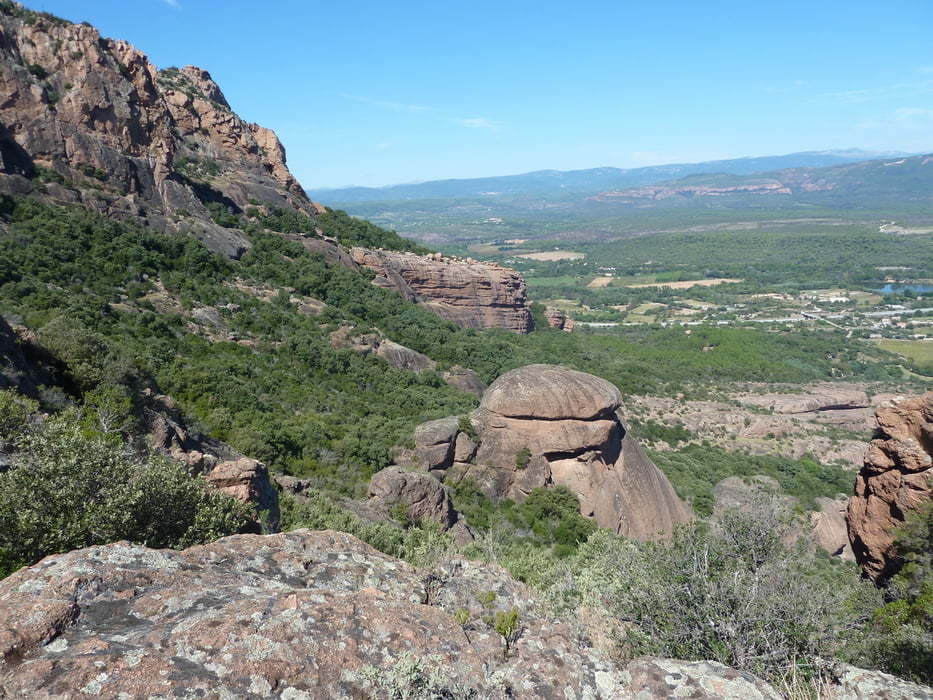

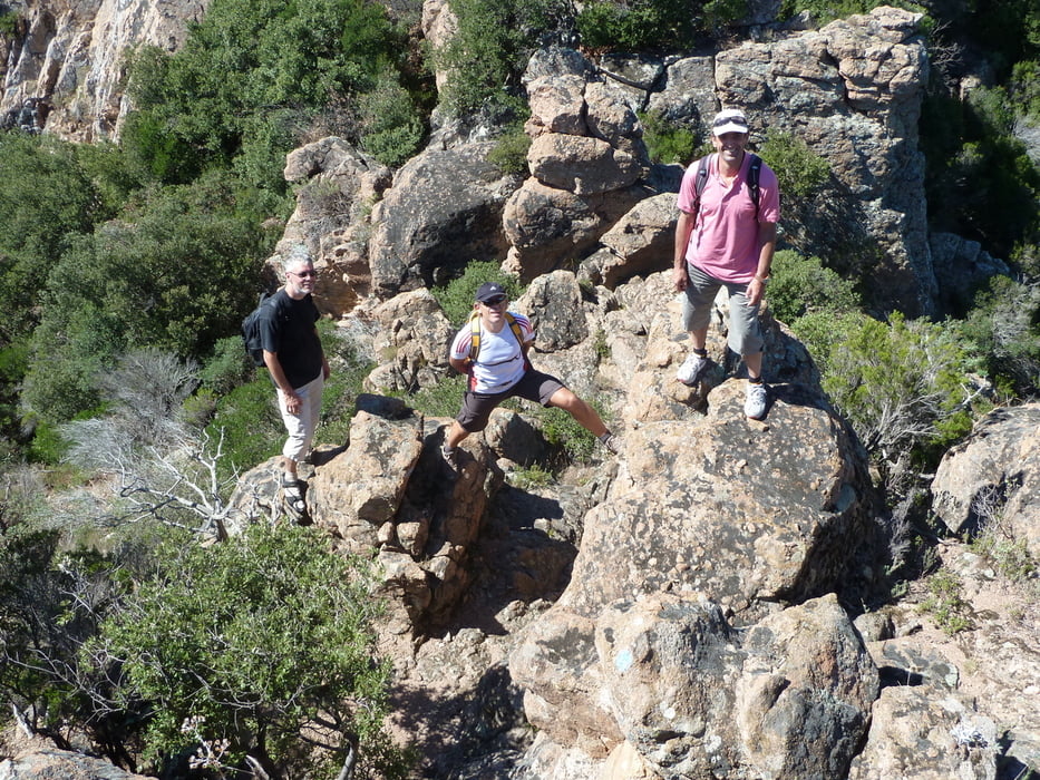
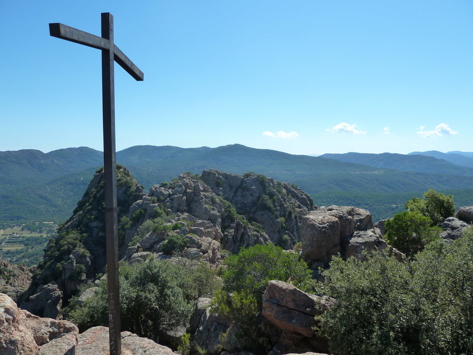
Tour auf den Rocher de Roquebrune (373m), so wie im Rother Wanderführer beschrieben. Laut Wanderführer eine der schönsten Wanderungen an der Cote d' Azur. Einige Stellen sind mit Seilen versichert. Die Tour verläuft gegen den Uhrzeigersinn.
Tour gallery
Tour map and elevation profile
Minimum height 21 m
Maximum height 370 m
More about the tour author

|
gami |
Comments

Anfahrt über die Autobahn bis nach Roquebrune sur Argens, am Ortseingang nach der Brücke an einer alten Kappelle rechts abbiegen und dann noch etwas weiterfahren, bis man auf den Track stösst.
GPS tracks
Trackpoints-
GPX / Garmin Map Source (gpx) download
-
TCX / Garmin Training Center® (tcx) download
-
CRS / Garmin Training Center® (crs) download
-
Google Earth (kml) download
-
G7ToWin (g7t) download
-
TTQV (trk) download
-
Overlay (ovl) download
-
Fugawi (txt) download
-
Kompass (DAV) Track (tk) download
-
Track data sheet (pdf) download
-
Original file of the author (gpx) download
More about the tour author
|
|
gami |
Add to my favorites
Remove from my favorites
Edit tags
Open track
My score
Rate