Login

Forgot your login?

Cookies have to be accepted!
Your browser's cookie functionality is disabled. Please enable this functionality.

Not a member yet?

Register now
Login

Available for registred users only

Log in to use this feature.

Forgot your login?

Cookies have to be accepted!
Your browser's cookie functionality is disabled. Please enable this functionality.

Not a member yet?

Register now
Filter
Categories
Advanced filters
  • Distance (km)
  • Height
Save filters Reset filter

TrackRank

QRCode

Technical data

Distance42,6 km Height625 m Way down604 m Duration00:00 h:m Date19.10.2010
Scores Author Landscape Fun factor Fitness Technique

Statistics

302 Views Scores 23 Downloads Average
Rate
  • Track data sheet
  • Directions
  • Downloads

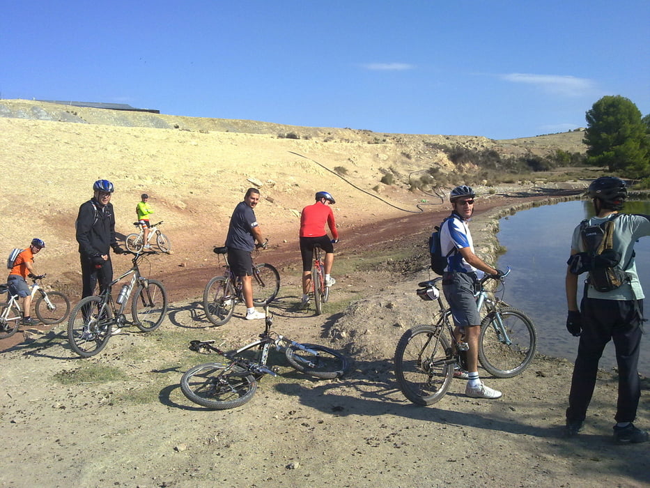
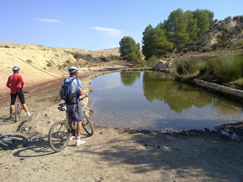
Ruta desde Calasparra, pasando junto a Valentín hasta llegar a la zona del Coto Las Maravillas, en el término de Cehegín, para volver por Cagitán.

Tour gallery

Tour map and elevation profile

  • Open Street Map
  • Google
Minimum height 307 m Maximum height 521 m Detailed view

More about the tour author

agustincb
Member since 2009

Send private message

Comments

GPS tracks

Trackpoints
  • GPX / Garmin Map Source (gpx) download
  • TCX / Garmin Training Center® (tcx) download
  • CRS / Garmin Training Center® (crs) download
  • Google Earth (kml) download
  • G7ToWin (g7t) download
  • TTQV (trk) download
  • Overlay (ovl) download
  • Fugawi (txt) download
  • Kompass (DAV) Track (tk) download
  • Track data sheet (pdf) download
  • Original file of the author (gpx) download

More about the tour author

agustincb
Member since 2009

Send private message
Share track
Add to my favorites
Remove from my favorites
Edit tags
My score
Rate
Track: Coto Las Maravillas
Type: Mountain bike
Distance: 42,6 km
Evaluated on:
Duration:
Day(s)
Hour(s)
Minute(s)
Score: Landscape Fun factor Fitness Technique