


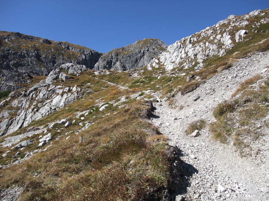
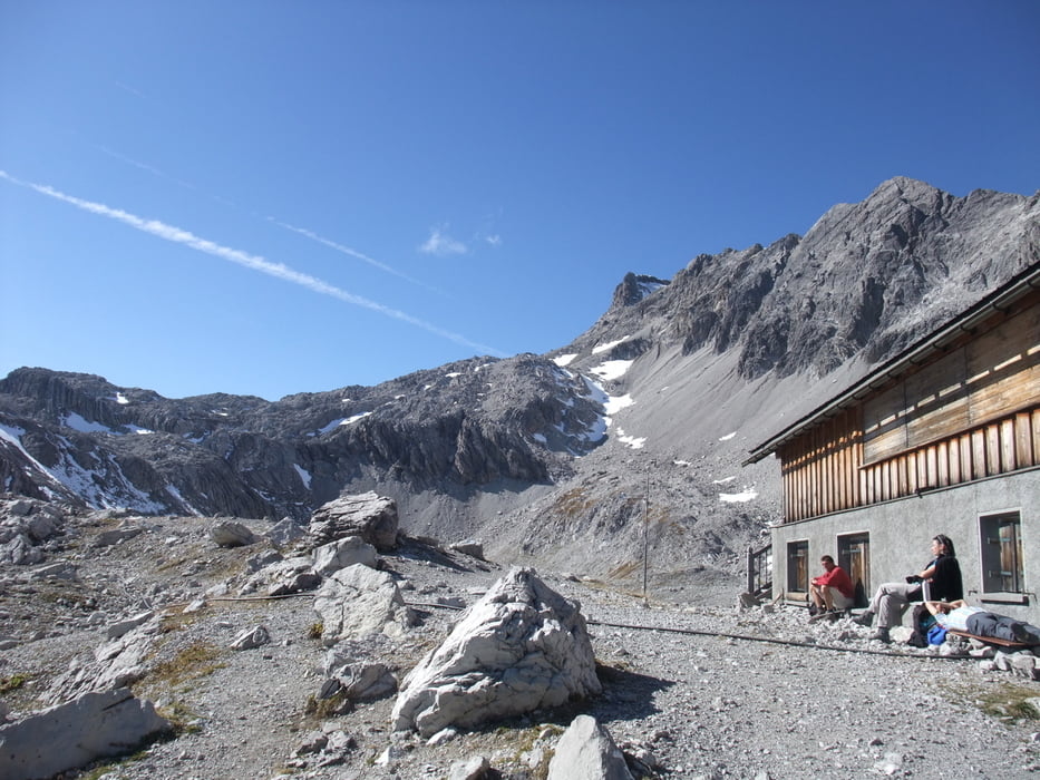
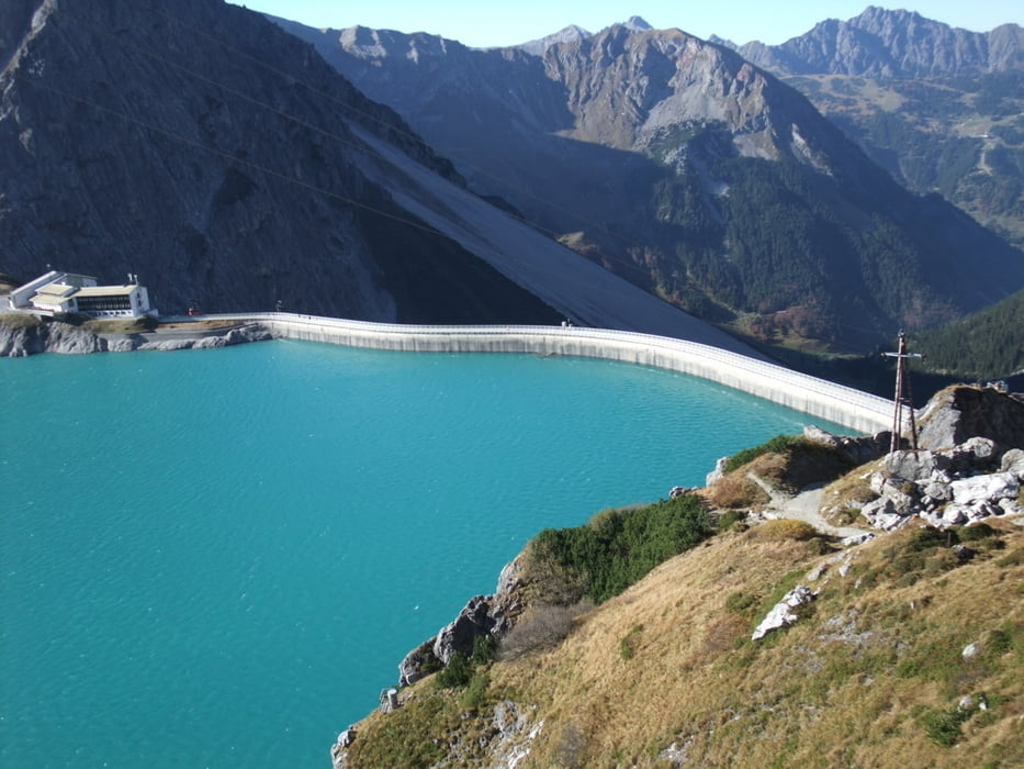
Von der Seilbahnstation Lünersee 1970m www.luenerseebahn.at/sommer.htm geht es rechts auf dem Rundweg bis zum Aufstieg zur Totalphütte 2385m www.totalp.at/. Dieser führt nach einem kurzen Schrägstück steil bergauf, ist aber (natürlich mit richtigen Wanderschuhen) gut zu gehen. Oben wird man dann mit einem sehr schönen Panoramablick Richtung Süden belohnt. Mit Übernachtung auf der Hütte ist der weitere Aufstieg zum Schesaplana ein lohnendes Ziel. Unser Weg führte uns wieder abwärts, wobei wir das letzte Stück direkt zum See abstiegen und diesen noch ganz umrundeten.
Further information at
http://de.wikipedia.org/wiki/L%C3%BCnerseeTour gallery

Tour map and elevation profile
Minimum height 1957 m
Maximum height 2380 m
More about the tour author
|
|
JZE |
Comments

Zur Talstation der Lünerseeseilbahn führt vom Ortsausgang Brand eine Straße - Parkplatz ist an der Seilbahnstation.
GPS tracks
Trackpoints-
GPX / Garmin Map Source (gpx) download
-
TCX / Garmin Training Center® (tcx) download
-
CRS / Garmin Training Center® (crs) download
-
Google Earth (kml) download
-
G7ToWin (g7t) download
-
TTQV (trk) download
-
Overlay (ovl) download
-
Fugawi (txt) download
-
Kompass (DAV) Track (tk) download
-
Track data sheet (pdf) download
-
Original file of the author (gpx) download
More about the tour author
|
|
JZE |
Add to my favorites
Remove from my favorites
Edit tags
Open track
My score
Rate