Login

Forgotten password?

Cookies have to be accepted!
Your browser's cookie functionality is disabled. Please enable this functionality.

Not a member yet?

Register now
Login

Available for registred users only

Log in to use this feature.

Forgotten password?

Cookies have to be accepted!
Your browser's cookie functionality is disabled. Please enable this functionality.

Not a member yet?

Register now
Filter
Categories
Advanced filters
  • Distance (km)
  • Height
Save filters Reset filter

TrackRank

QRCode

Technical data

Distance66,7 km Height377 m Way down376 m Duration04:13 h:m Date20.10.2010
Scores Author Landscape Fun factor Fitness Technique

Statistics

542 Views Scores 141 Downloads Average
Rate
  • Track data sheet
  • Directions
  • Downloads

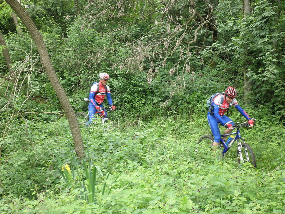
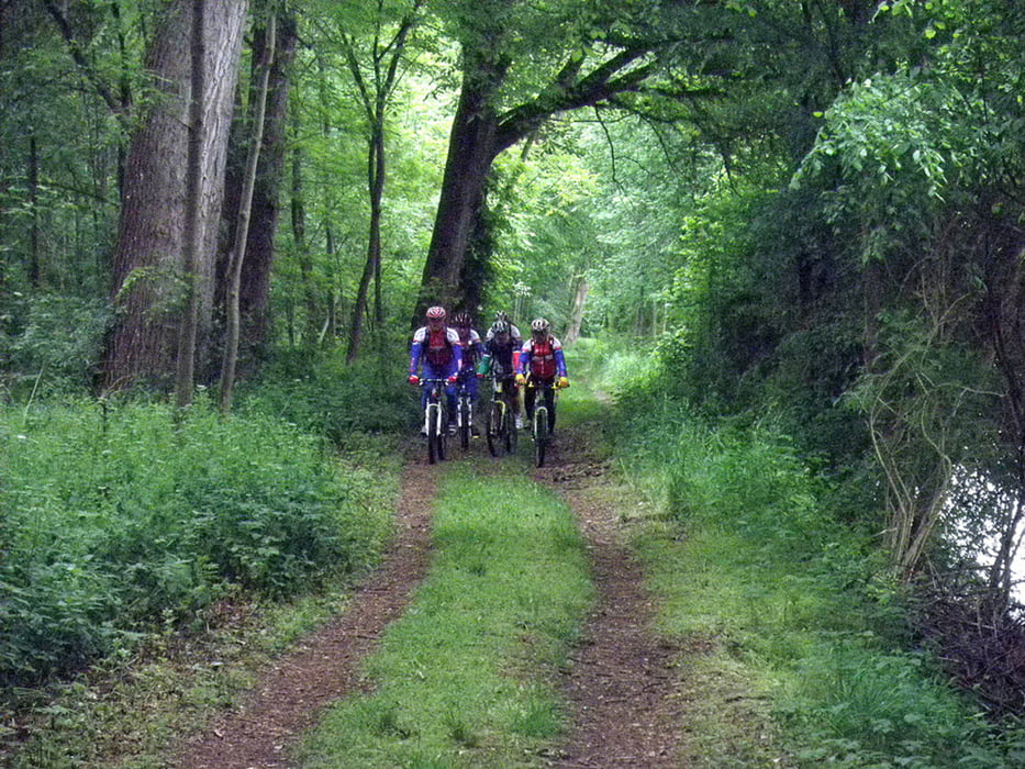
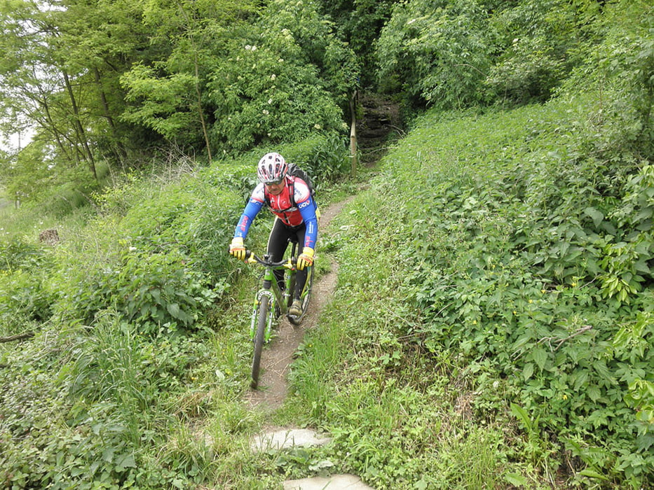
Sehr flache, aber landschaftlich sehr schöne Tour vorbei an 10 Seen. Drum gehts am Schluss noch auf den Klöchberg, damits auch ein paar Höhenmeter gibt! Teilweise sehr schöne Trails!

Tour gallery

Tour map and elevation profile

  • Open Street Map
  • Google
Minimum height 211 m Maximum height 384 m Detailed view

More about the tour author

Ers
Member since 2008

Send private message

Comments

Startpunkt ist der Altneudörflerhof in Altdörfl.

GPS tracks

Trackpoints
  • GPX / Garmin Map Source (gpx) download
  • TCX / Garmin Training Center® (tcx) download
  • CRS / Garmin Training Center® (crs) download
  • Google Earth (kml) download
  • G7ToWin (g7t) download
  • TTQV (trk) download
  • Overlay (ovl) download
  • Fugawi (txt) download
  • Kompass (DAV) Track (tk) download
  • Track data sheet (pdf) download
  • Original file of the author (gpx) download

More about the tour author

Ers
Member since 2008

Send private message
Share track
Add to my favorites
Remove from my favorites
Edit tags
My score
Rate
Track: 10-Seen-Tour
Type: Mountain bike
Distance: 66,7 km
Evaluated on:
Duration:
Day(s)
Hour(s)
Minute(s)
Score: Landscape Fun factor Fitness Technique