


Etappe 2: St. Anton – Ischgl
ca. 52 Kilometer 1700 Höhenmeter
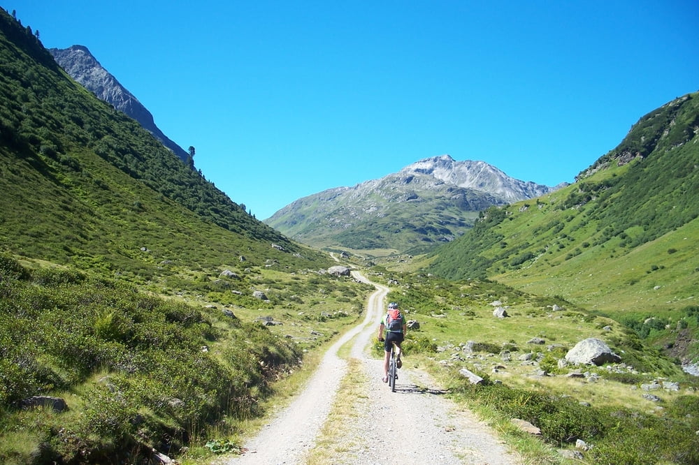
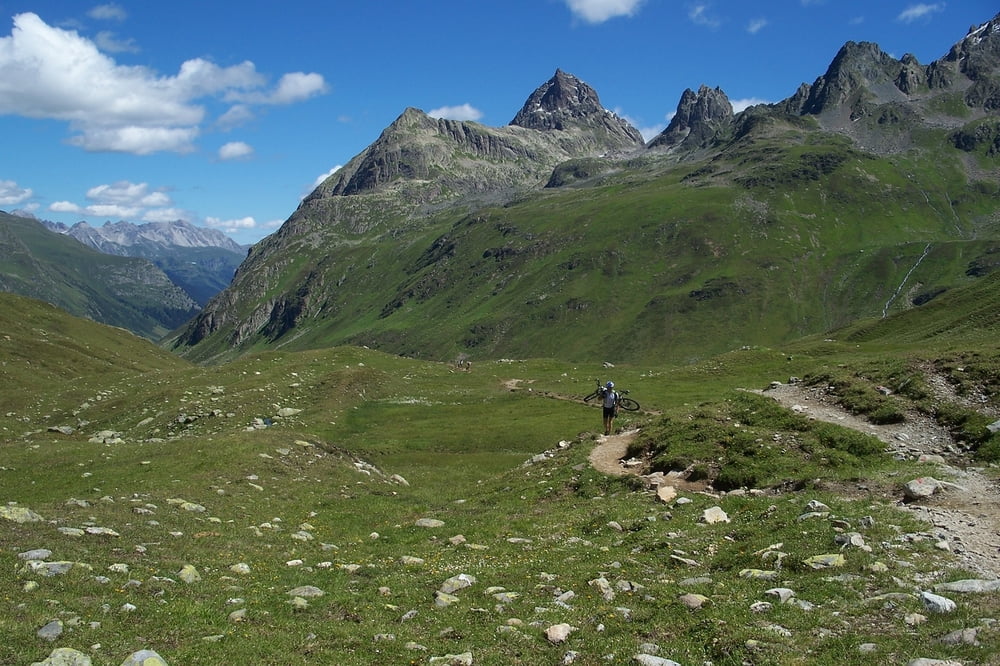
Von St. Anton aus geht es zum einrollen erst mal über Wirtschaftswege weiter. Kurz vor der Heilbronner Hütte endet der Wirtschaftsweg und führt auf einen Trampelpfad, der nach einer Brücke ist mit fahren erst mal vorbei. Ab da ist schieben und tragen angesagt, dieser Weg führt auf ein schönes Hochplatto und endet an der Heilbronner Hütte auf 2320 m ü.n.N. Von dort aus weiter oberhalb an Galtür vorbei nach Ischgl.
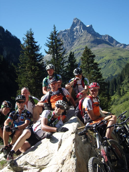
Dort hat sich unsere Gruppe geteilt. Vier Mann sind mit den Rad direkt zur Bodenalp, zwei mit der Seilbahn bis zur Zwischenstation und die restlichen fünf fuhren bis zur Endstation, wo wir noch eine schöne Abfahrt bis zur Bodenalp fahren konnten.
Übernachtung: Berghotel Bodenalpe
Further information at
http://www.bodenalpe.comt/Tour gallery

Tour map and elevation profile
Minimum height 1264 m
Maximum height 2272 m
More about the tour author
|
|
MarcusVergin |
Comments

GPS tracks
Trackpoints-
GPX / Garmin Map Source (gpx) download
-
TCX / Garmin Training Center® (tcx) download
-
CRS / Garmin Training Center® (crs) download
-
Google Earth (kml) download
-
G7ToWin (g7t) download
-
TTQV (trk) download
-
Overlay (ovl) download
-
Fugawi (txt) download
-
Kompass (DAV) Track (tk) download
-
Track data sheet (pdf) download
-
Original file of the author (gpx) download
More about the tour author
|
|
MarcusVergin |
Add to my favorites
Remove from my favorites
Edit tags
Open track
My score
Rate