


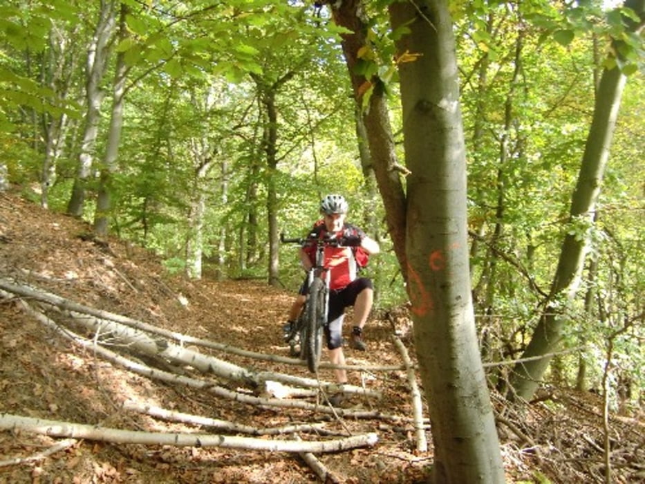
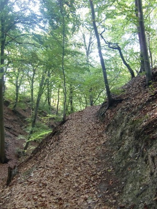
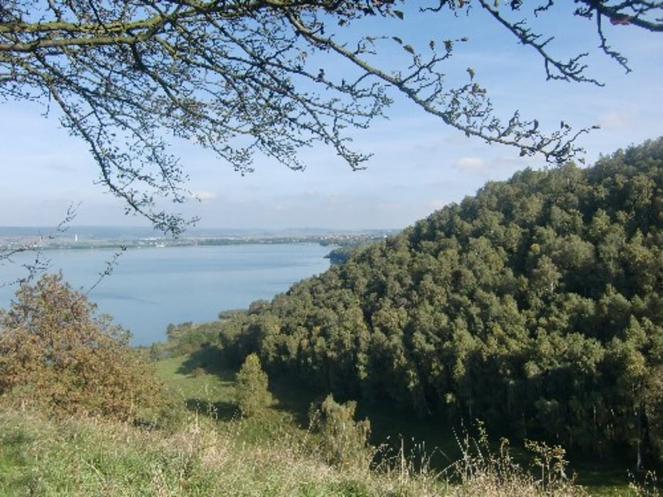
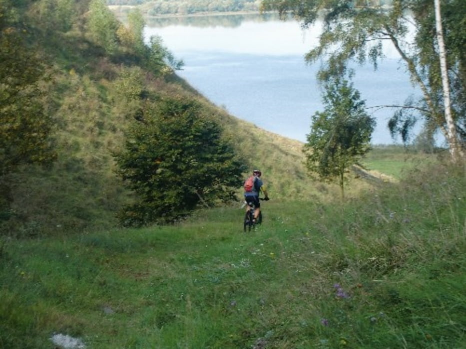
Tourstart in Heldrungen Bahnho. Dann auf dem Radweg bis Bad Frankenhausen. Ab Bad F wurde dem Geopfad gefolgt. Er ist gut ausgeschildert. Es ging nicht ganz bis zur Barbarossahöhle, vorher wurde zum Rathfeld abgebogen und dann auf dem Wanderweg bis unterhalb des Kulpenberges weiter gefahren. Weiter über den Rennweg in die Badraer Schweiz zum Schlossberg und am Ufer des Kelbraer Stausees bis nach Berga zum Bahnhof.
Further information at
http://www.mtb-news.de/forum/showpost.php?p=7633203&postcount=1261Tour gallery
Tour map and elevation profile
Minimum height 124 m
Maximum height 444 m
More about the tour author
|
|
Udo1 |
Comments

Mit DB von Merseburg über Erfurt nach Heldrungen Bahnhof
GPS tracks
Trackpoints-
GPX / Garmin Map Source (gpx) download
-
TCX / Garmin Training Center® (tcx) download
-
CRS / Garmin Training Center® (crs) download
-
Google Earth (kml) download
-
G7ToWin (g7t) download
-
TTQV (trk) download
-
Overlay (ovl) download
-
Fugawi (txt) download
-
Kompass (DAV) Track (tk) download
-
Track data sheet (pdf) download
-
Original file of the author (gpx) download
More about the tour author
|
|
Udo1 |
Add to my favorites
Remove from my favorites
Edit tags
Open track
My score
Rate