


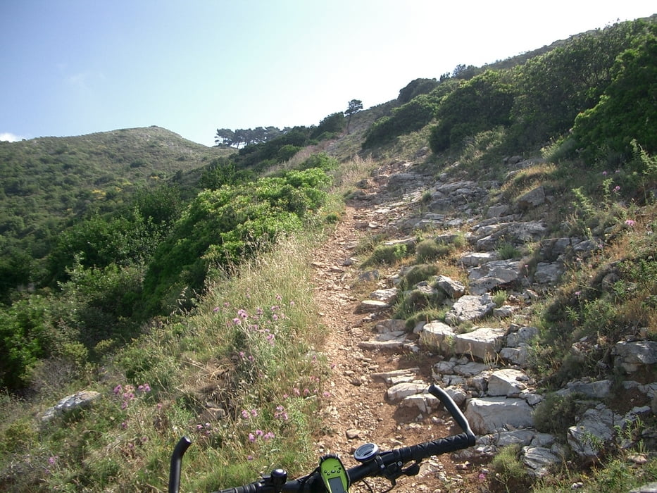
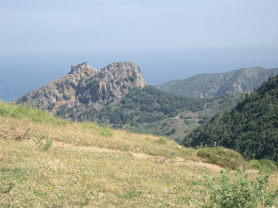
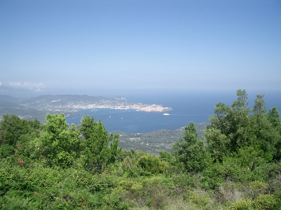
Start der Tour in der Bucht von Lacona. Weiter auf der Küstenstrasse bis Capo Norsi. Hier gehts weiter auf Schotter zum Lido von Capoliveri. Nun kurz auf der Strasse nach Porto Azzurro und scharf links Bergwärts zum Cima del Monte (516m). Das letzte Stück zum Cima ist Trail und nur teilweise fahrbar aber mit super Aussichten auf Portoferaio, Capoliveri und Porto Azzurro. Rückweg wie Hinweg. Einkehrmöglichkeit gibts z.B. in der Bucht von Capoliveri beim Strand.
Tour gallery
Tour map and elevation profile
Minimum height 5 m
Maximum height 501 m
More about the tour author
|
|
Bockrider |
Comments

Auf Insel Elba Strada SP30 nach Lacona. Startpunkt Nähe Campingplatz.
GPS tracks
Trackpoints-
GPX / Garmin Map Source (gpx) download
-
TCX / Garmin Training Center® (tcx) download
-
CRS / Garmin Training Center® (crs) download
-
Google Earth (kml) download
-
G7ToWin (g7t) download
-
TTQV (trk) download
-
Overlay (ovl) download
-
Fugawi (txt) download
-
Kompass (DAV) Track (tk) download
-
Track data sheet (pdf) download
-
Original file of the author (gpx) download
More about the tour author
|
|
Bockrider |
Add to my favorites
Remove from my favorites
Edit tags
Open track
My score
Rate