


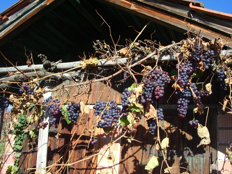
Wir starten in Großheppach, Parkplatz beim Sportgelände und gehen der Anlage entlang Richtung Norden in den Weinberg hier gehen wir dann rechts Richtung Gundelsbach und weiter durch die Weinberge hoch nach Bouch "506m".
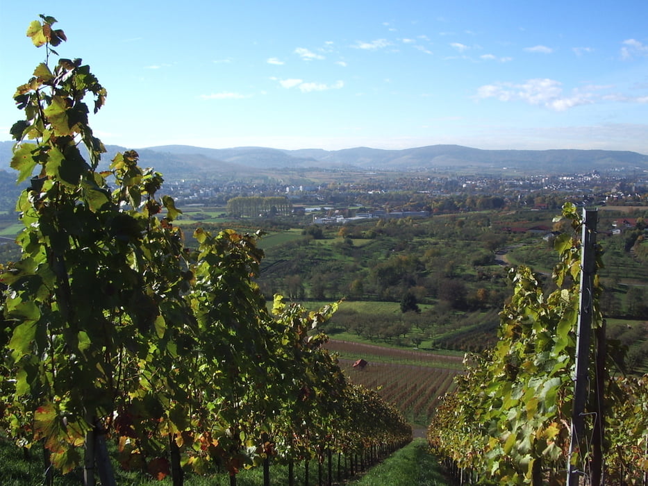
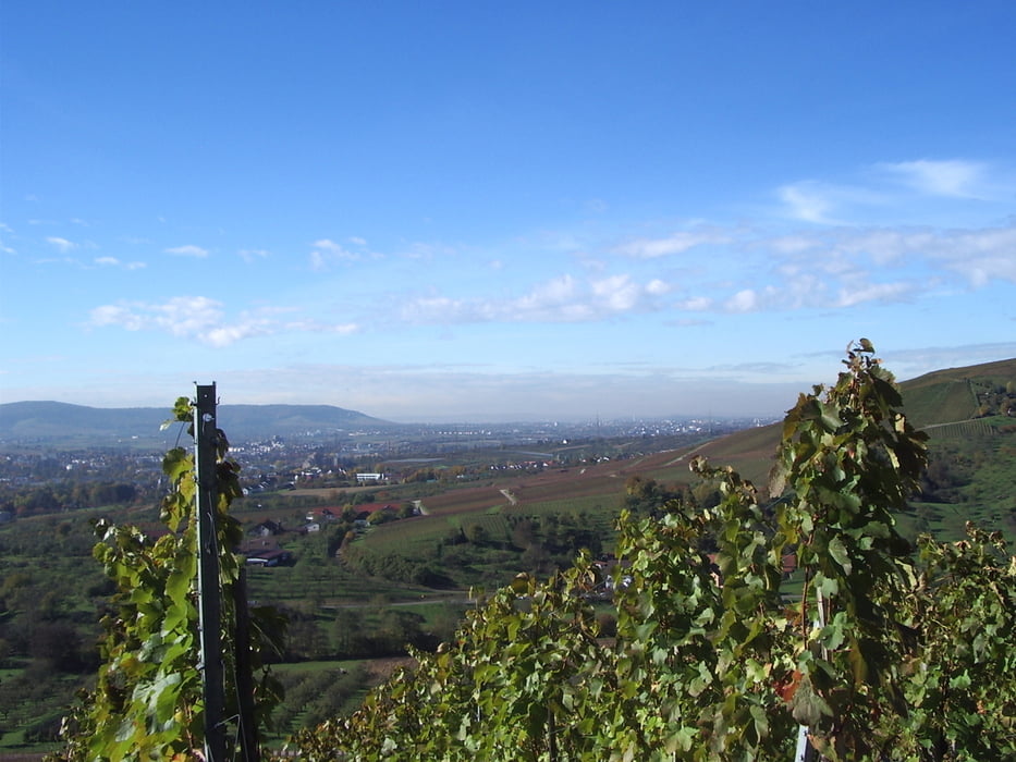
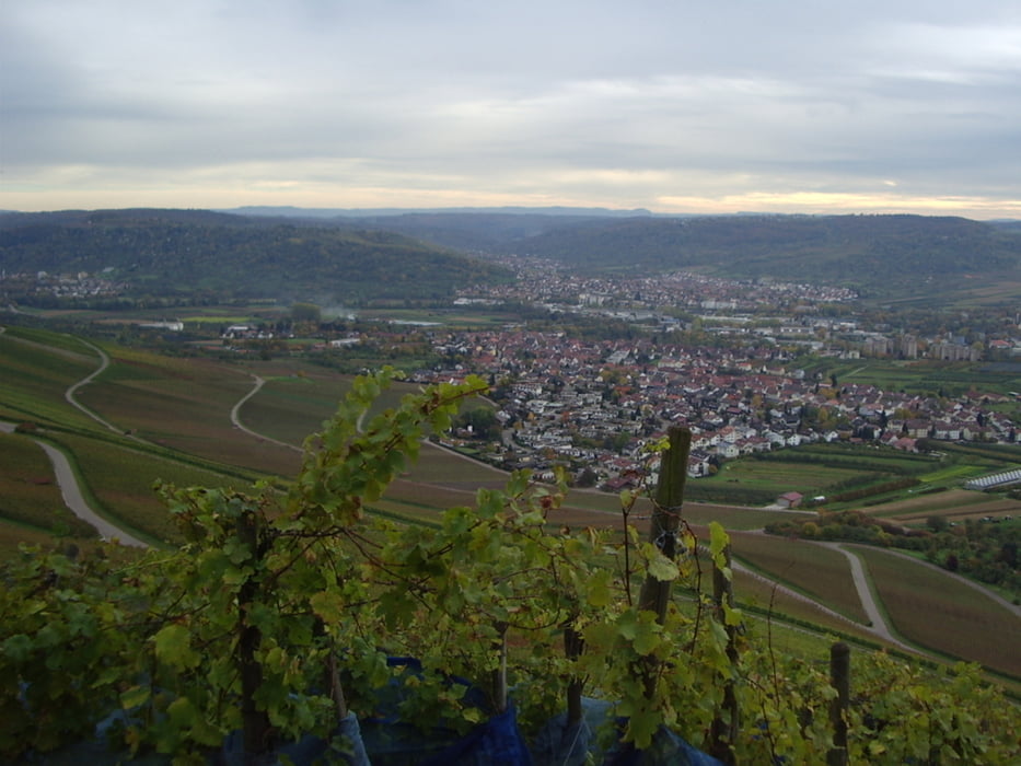
Am Ortseingang Bouch gehen wir gleich links auf den Panoramaweg mit Ausblick auf das Remstal. Dann geht es abwärts durch den Wald zur "Kreuzeiche". "424m" von da weiter zum Aussichtspunkt "Hörnleskopf " "426m" hier haben wir einen herrlicher Ausblick auf Korb und Umgebung. Weiter zur Wegkreuzung Immerich, von da zum "Kleinheppacher Kopf" "440m" mit dem wohl schönsten Ausblick der Tour. Mit Sicht auf die Albkette vom Hohenstaufen bis zur Teck, den Schurwald und das Remstal von Schorndorf bis Stuttgart .
Der Rückweg führt uns teilweise direkt durch die Heppacher Weinberge (Abkürzung) zurück zum Ausgangspunkt.
Tour gallery
Tour map and elevation profile
Minimum height 243 m
Maximum height 501 m
More about the tour author
|
|
whasch |
Comments

Parkplatz beim Sportgelände in Großheppach
GPS tracks
Trackpoints-
GPX / Garmin Map Source (gpx) download
-
TCX / Garmin Training Center® (tcx) download
-
CRS / Garmin Training Center® (crs) download
-
Google Earth (kml) download
-
G7ToWin (g7t) download
-
TTQV (trk) download
-
Overlay (ovl) download
-
Fugawi (txt) download
-
Kompass (DAV) Track (tk) download
-
Track data sheet (pdf) download
-
Original file of the author (gpx) download
More about the tour author
|
|
whasch |
Add to my favorites
Remove from my favorites
Edit tags
Open track
My score
Rate