


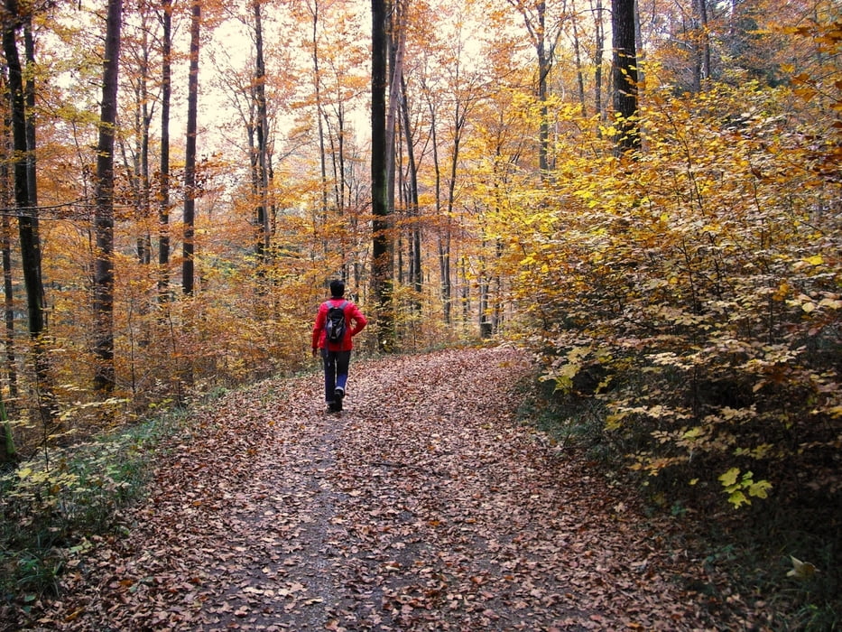
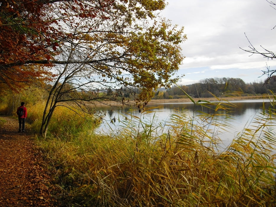
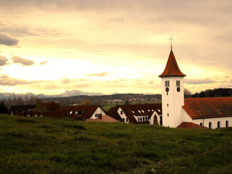
Start der Tour bei der "Krone" in Schlier. Über Eibesch kommen wir ins Lauratal und auf schönen Waldwegen gehts zum Zundelbach. Auf dem Katzensteig erreichen wir den Aussichtspunkt Zundelbacher Linde. Hier gibts eine Aussicht auf Schussental und ein Alpenpanorama von den Allgäuer bis zu den Schweizer Alpen. Im Winter gibts Sa/So auch eine Einkehrmöglichkeit beim "Lindele".
Weiter über die Rößlerhalde kommen wir zum Rößlerweiher. Nach einer beinahe Umrundung vom Rößlerweiher kommen wir über Schattbuch zurück nach Schlier.
Further information at
http://www.tor-zum-allgaeu.deTour gallery
Tour map and elevation profile
Minimum height 544 m
Maximum height 637 m
More about the tour author
|
|
Bockrider |
Comments

Von Ravensburg auf der L325 nach Schlier. Parkmöglichkeit bei Gasthaus Krone oder beim Friedhof.
GPS tracks
Trackpoints-
GPX / Garmin Map Source (gpx) download
-
TCX / Garmin Training Center® (tcx) download
-
CRS / Garmin Training Center® (crs) download
-
Google Earth (kml) download
-
G7ToWin (g7t) download
-
TTQV (trk) download
-
Overlay (ovl) download
-
Fugawi (txt) download
-
Kompass (DAV) Track (tk) download
-
Track data sheet (pdf) download
-
Original file of the author (gpx) download
More about the tour author
|
|
Bockrider |
Add to my favorites
Remove from my favorites
Edit tags
Open track
My score
Rate