
))")

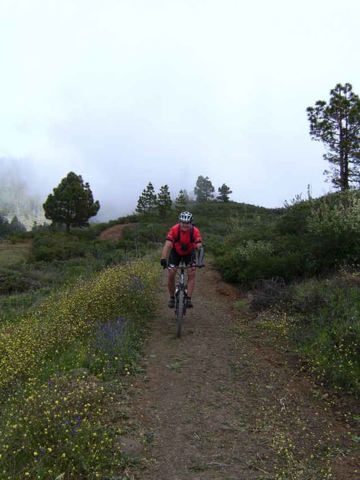
Zunächst führt die Tour uns 400 hm bergab zum Strand von Tazacorte. Von hier aus geht es 1200hm am Stück bergauf zum Torre del Time. Ein großer Teil dieser Strecke führt über Asphalt. Die Mühe lohnt sich, denn der lange Anstieg wird mit einer schönen Aussicht in die Caldera belohnt, ...wenn es nicht gerade nebelig ist ;o) nach einigen Kilometern entlang des Grads, geht es nun die verdienten 1000hm auch wieder bergab. GENIAL !!! Wieder in Los Llanos gibt es im Cafe Eden noch ein Bierchen und ein Schinken-Käse Sandwich. Was für ein genialer Tag. Wir wünschen Euch viel Spaß beim nachfahren.
Tour gallery
Tour map and elevation profile
Minimum height 19 m
Maximum height 1204 m
More about the tour author
|
|
Captain |
Comments

Gestartet sind wir in Los Llanos an der Villa Caldera. Die Tour kann aber genau so gut an jedem anderen Punkt in Los Llanos gestartet werden.
GPS tracks
Trackpoints-
GPX / Garmin Map Source (gpx) download
-
TCX / Garmin Training Center® (tcx) download
-
CRS / Garmin Training Center® (crs) download
-
Google Earth (kml) download
-
G7ToWin (g7t) download
-
TTQV (trk) download
-
Overlay (ovl) download
-
Fugawi (txt) download
-
Kompass (DAV) Track (tk) download
-
Track data sheet (pdf) download
-
Original file of the author (gpx) download
More about the tour author
|
|
Captain |
Add to my favorites
Remove from my favorites
Edit tags
Open track
My score
Rate