


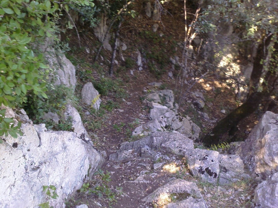
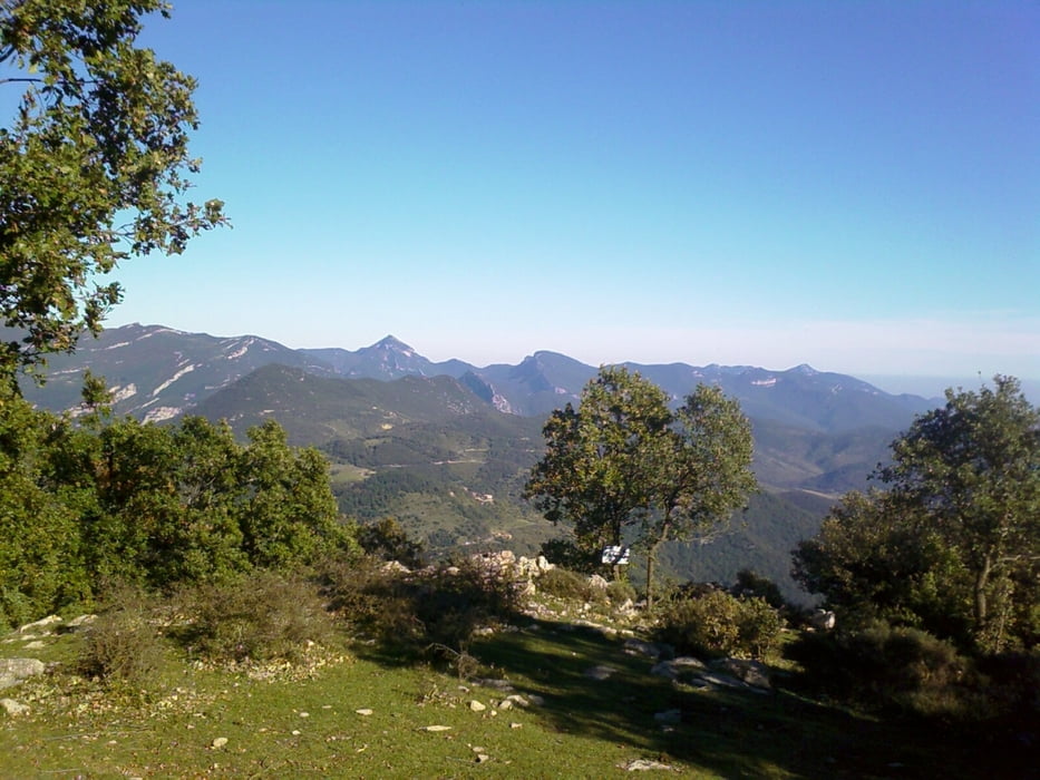
Die Tour führt von etwa 800m hinauf bis zu einem Plateau auf 1100m kurz vor dem Gipfel des Talló und auf dem gleichen Weg wieder zurück. Sie ist sehr gut beschildert (rot-grün). Der Weg lässt sich gemächlich an, wird dann aber steil und steinig. Wunderschöne Ausblicke lohnen die Mühe.
Man kann die Tour auch bis zum Talló hin ausdehnen, wir mussten wegen Zeitproblemen leider vorher umkehren.
Tour gallery
Tour map and elevation profile
Minimum height 763 m
Maximum height 1112 m
More about the tour author

|
MarinJ |
Comments

Von Banyoles aus fährt man auf der C150 Richtung Besalú. Dort auf die N260 (A26) Richtung Olot. In Castellfollit de la Roca biegt man nach Oix auf die ab. In Oix weiter Richtung Beget. Zwischen Oix und Beget geht links der Wandeweg ab. Am Beginn des Wanderwegs kann man am Strassenrand in einer Bucht parken.
GPS tracks
Trackpoints-
GPX / Garmin Map Source (gpx) download
-
TCX / Garmin Training Center® (tcx) download
-
CRS / Garmin Training Center® (crs) download
-
Google Earth (kml) download
-
G7ToWin (g7t) download
-
TTQV (trk) download
-
Overlay (ovl) download
-
Fugawi (txt) download
-
Kompass (DAV) Track (tk) download
-
Track data sheet (pdf) download
-
Original file of the author (gpx) download
More about the tour author
|
|
MarinJ |
Add to my favorites
Remove from my favorites
Edit tags
Open track
My score
Rate