


Die Route ist Teil eines Projekts, das historische Hintergründe des Spanischen Bürgerkrieges in dieser Gegend aufzeigt.Sie folgt Pfaden, die während des Bürgerkrieges genutzt wurden. Die Hintergründe dazu sind in dem lesenswerten Buch vin Javier Cercas, DieSoldaten von Salamis beschrieben.
Die Route selbst ist gut begehbar und durchgehend beschildert (siehe erstes Bild), einige Teile führen leider inzwischen auf Strassen entlang.
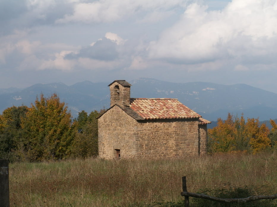
Tour gallery

Tour map and elevation profile
Minimum height 256 m
Maximum height 744 m
More about the tour author

|
MarinJ |
Comments

Von Banyoles aus nimmt man die Landstraße GI-524 nach Sant Miquel de Campmajor und Santa Pau. In Sant Martí de Campmajor kommen wir an eine Kreuzung; rechts geht es nach Sant Miquel, wir aber biegen nach links ab und nehmen die GIV-5246 nach Falgons. Kurz vor der Ortschaft stoßen wir links auf einen Waldweg nach "Can Gifre", wo wir unser Auto abstellen können.
Unmittelbar vor dem Anwesen Can Gifre finden wir die erste Routenmarkierung, der wir im weiteren nun folgen
GPS tracks
Trackpoints-
GPX / Garmin Map Source (gpx) download
-
TCX / Garmin Training Center® (tcx) download
-
CRS / Garmin Training Center® (crs) download
-
Google Earth (kml) download
-
G7ToWin (g7t) download
-
TTQV (trk) download
-
Overlay (ovl) download
-
Fugawi (txt) download
-
Kompass (DAV) Track (tk) download
-
Track data sheet (pdf) download
-
Original file of the author (gpx) download
More about the tour author
|
|
MarinJ |
Add to my favorites
Remove from my favorites
Edit tags
Open track
My score
Rate