


Die Tour beginnt im Laerholz und zieht sich über Wiesen und durch Wald bis runter zum Kemnader See. Von hier aus führt die Route am Berg oberhalb des sees mit einem tollen Ausblick. Anschließend geht es Querfeldein und über den Golfplatz Richtung Lottetal. Von hieraus folgt der letzte Anstieg über kleine Umwege zur Uni hoch.
Tour gallery
Tour map and elevation profile
Minimum height 21 m
Maximum height 142 m
More about the tour author

|
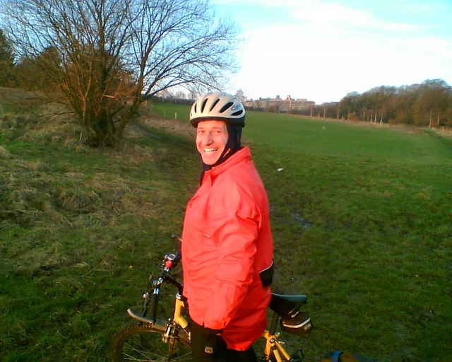
tommyley |
Comments

Bochum Querenburg, Von Hustadtring in Vormholzstr., nach 50 m rechts und dann führt ein kleiner Weg vom Wendekreis in Laerholz
GPS tracks
Trackpoints-
GPX / Garmin Map Source (gpx) download
-
TCX / Garmin Training Center® (tcx) download
-
CRS / Garmin Training Center® (crs) download
-
Google Earth (kml) download
-
G7ToWin (g7t) download
-
TTQV (trk) download
-
Overlay (ovl) download
-
Fugawi (txt) download
-
Kompass (DAV) Track (tk) download
-
Track data sheet (pdf) download
-
Original file of the author (gpx) download
More about the tour author
|
|
tommyley |
Add to my favorites
Remove from my favorites
Edit tags
Open track
My score
Rate