Login

Forgot your login?

Cookies have to be accepted!
Your browser's cookie functionality is disabled. Please enable this functionality.

Not a member yet?

Register now
Login

Available for registred users only

Log in to use this feature.

Forgot your login?

Cookies have to be accepted!
Your browser's cookie functionality is disabled. Please enable this functionality.

Not a member yet?

Register now
Filter
Categories
Advanced filters
  • Distance (km)
  • Height
Save filters Reset filter

TrackRank

QRCode

Technical data

Distance29,3 km Height579 m Way down96 m Duration00:00 h:m Date06.11.2010
Scores Author Landscape Fun factor Fitness Technique

Statistics

1084 Views Scores 65 Downloads Average
Rate
  • Track data sheet
  • Directions
  • Downloads

Start in Zams beim Parkplatz Zammer Lochputz www.zammer-lochputz.at.

Auf dem Radweg am Inn entlang nach Landeck bis zur B171. Auf dieser Richtung Pians. Bei der Abzweigung Paznauntal auf die B316 und über Strengen, Flirsch, Schann, Pettneu nach St. Anton.

Nachdem der Autoverkehr auf der S16 läuft, sind auf der Tour nur wenige Autos unterwegs. Bis Pians bzw. kurz vor St. Anton ist mit mehr Autos zu rechnen.
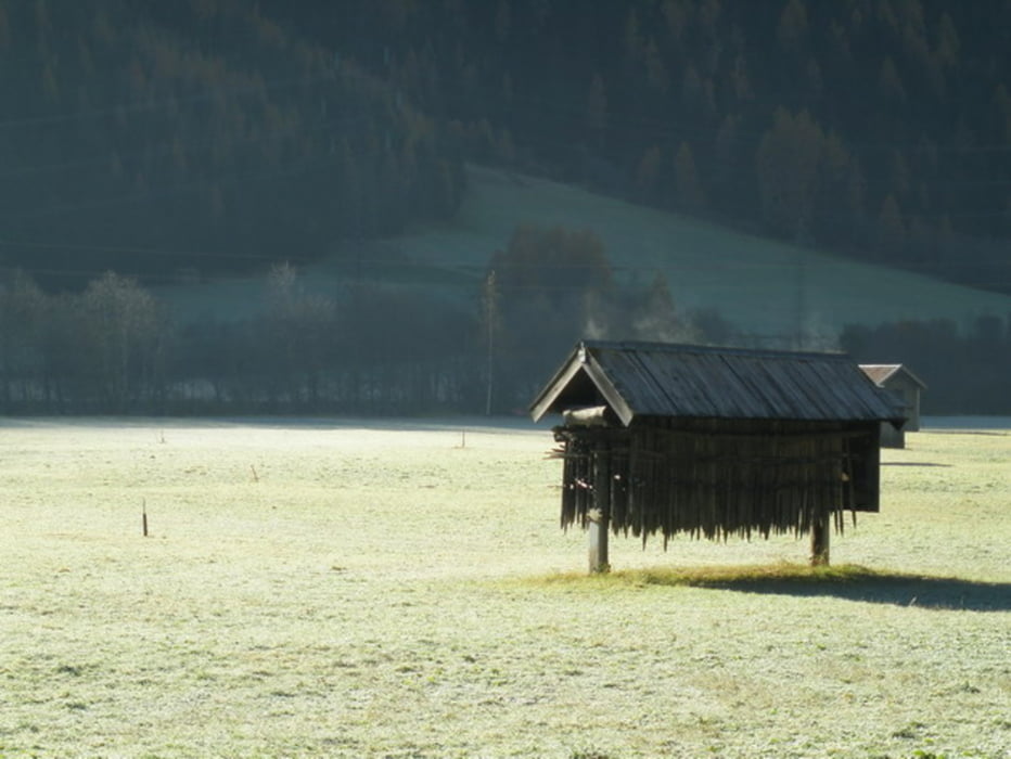
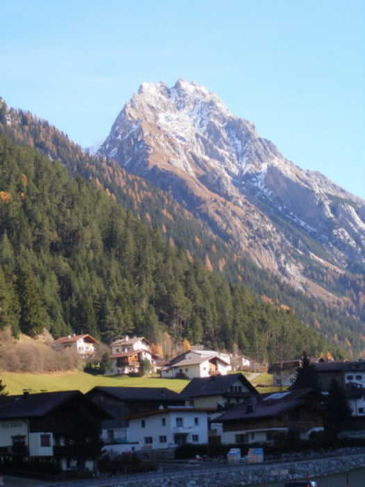
Tour gallery

Tour map and elevation profile

  • Open Street Map
  • Google
Minimum height 762 m Maximum height 1311 m Detailed view

More about the tour author

simplon73
Member since 2009

Send private message

Comments

GPS tracks

Trackpoints
  • GPX / Garmin Map Source (gpx) download
  • TCX / Garmin Training Center® (tcx) download
  • CRS / Garmin Training Center® (crs) download
  • Google Earth (kml) download
  • G7ToWin (g7t) download
  • TTQV (trk) download
  • Overlay (ovl) download
  • Fugawi (txt) download
  • Kompass (DAV) Track (tk) download
  • Track data sheet (pdf) download
  • Original file of the author (gpx) download

More about the tour author

simplon73
Member since 2009

Send private message
Share track
Add to my favorites
Remove from my favorites
Edit tags
My score
Rate
Track: Herbstliche Fahrt von Zams nach St. Anton a.A.
Type: Trekkingbike
Distance: 29,3 km
Evaluated on:
Duration:
Day(s)
Hour(s)
Minute(s)
Score: Landscape Fun factor Fitness Technique